01 / Cover
Smart Farming: a digital twin of your agribusiness
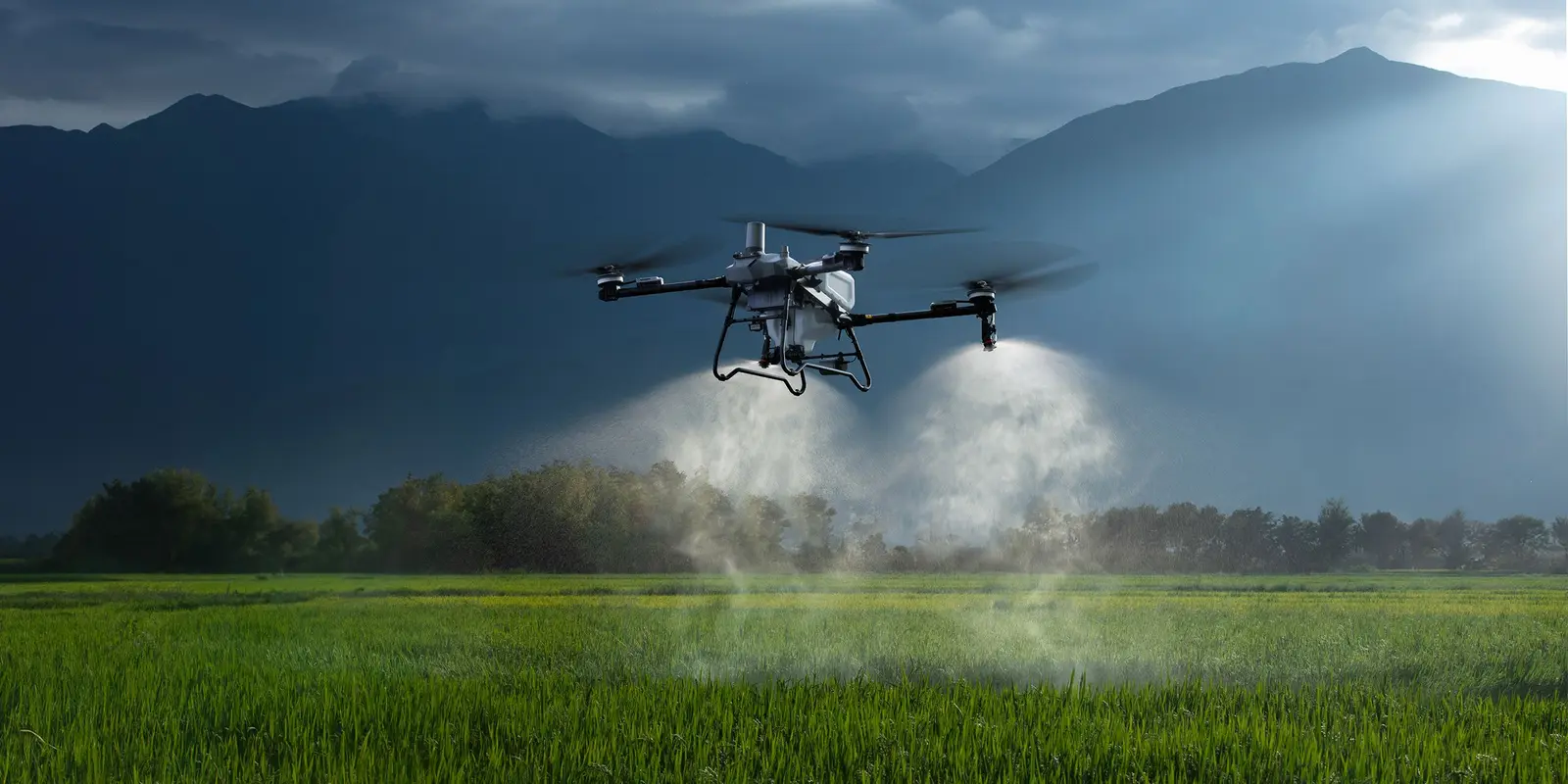
- A single precision-agriculture ecosystem that makes every hectare pay off.
- RTK autosteer, aerial field monitoring and prescription maps in one loop.
Absolute accuracy
down to 1 centimetre
RTK: FIXED
PRECISION: 1 CM
MODE: AUTO
PRECISION: 1 CM
MODE: AUTO
01 / 07
02 / Positioning
A shift in approach: from working by eye
to full control
Traditional approach
!Overspending on chemicals and seed because passes overlap — up to 15%.
!Yield lost to skips and under-seeding.
!The human factor and operator fatigue.
The Smart Farming ecosystem
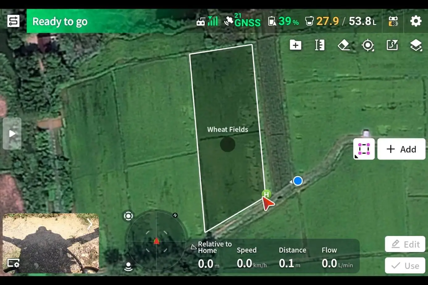
✓No blind spots: every pass runs line to line.
✓Optimised inputs: up to 20% saved on materials.
✓24/7 autonomy: work continues in zero visibility.
02 / 07
03 / Execution
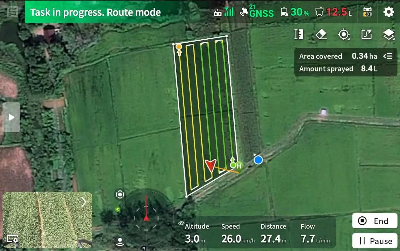
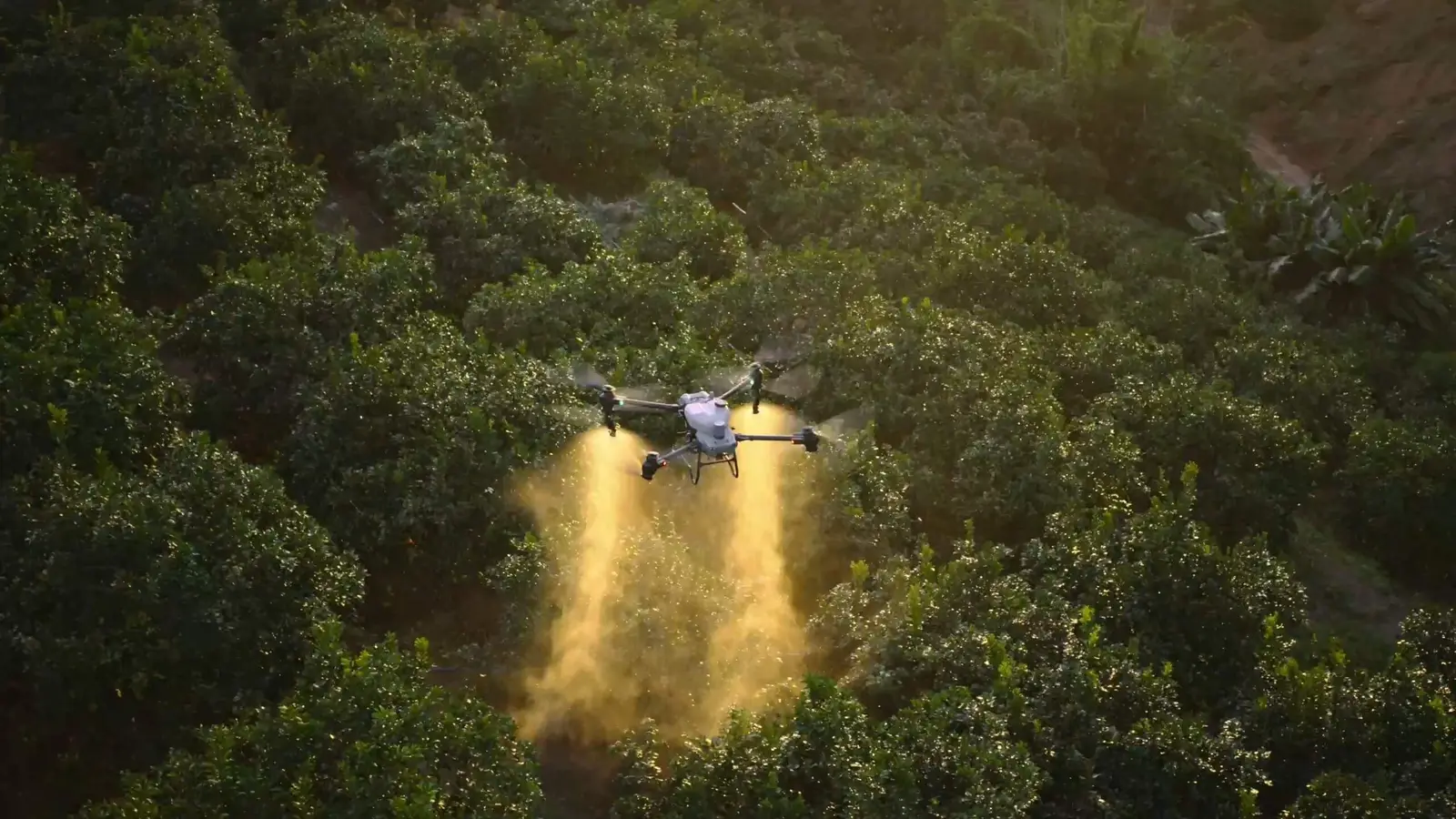
NX610 autosteer: accuracy, autonomy, savings
01Real-time kinematics (RTK): pass-to-pass error no more than 2–3 cm.
02No overlaps: even joint rows season after season.
03Universal fit: installs on any fleet — from MTZ to John Deere.
0424/7 operation: autonomous steering at night, in fog and dust.
03 / 07
04 / Data capture
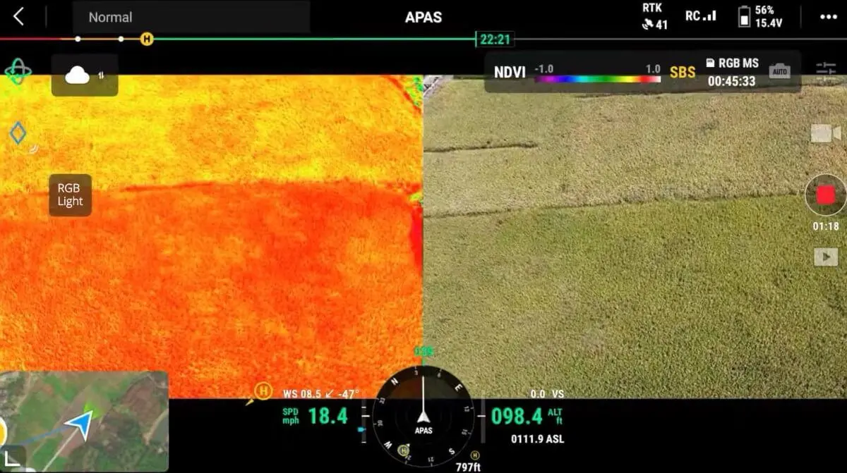
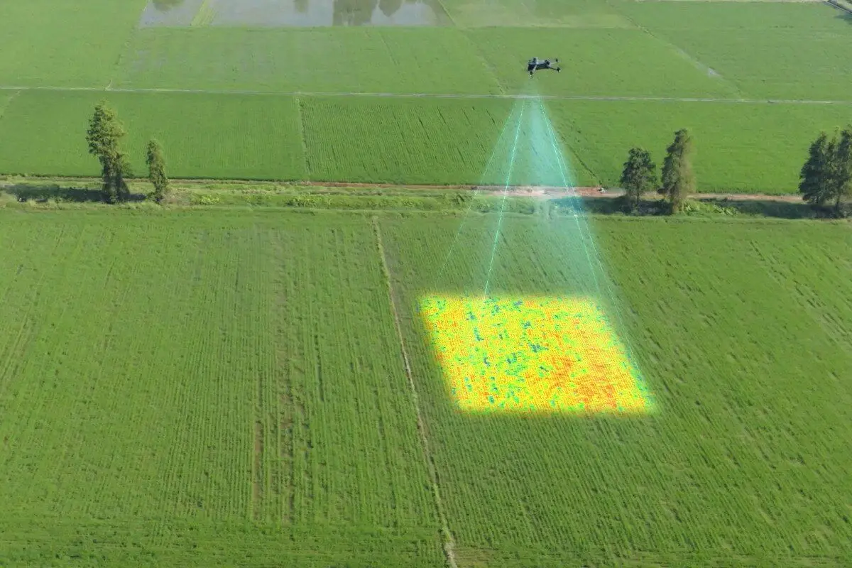
Field monitoring: problems are visible early
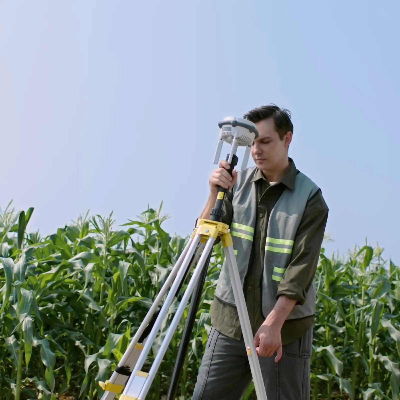
01Full coverage: up to 1,000 hectares a day with one setup.
02Multispectral analysis: vegetation indices (NDVI) and early detection of crop stress.
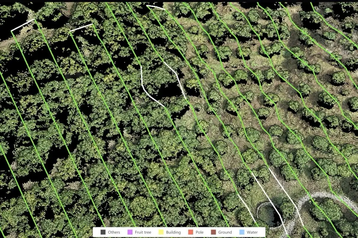
03Land inventory: precise field measurement, detection of encroachments and waterlogging.
04Emergence control: crop density assessed without walking the field.
04 / 07
05 / Analytics
Turning pixels into profit
Point cloud: raw survey data straight from the drone.
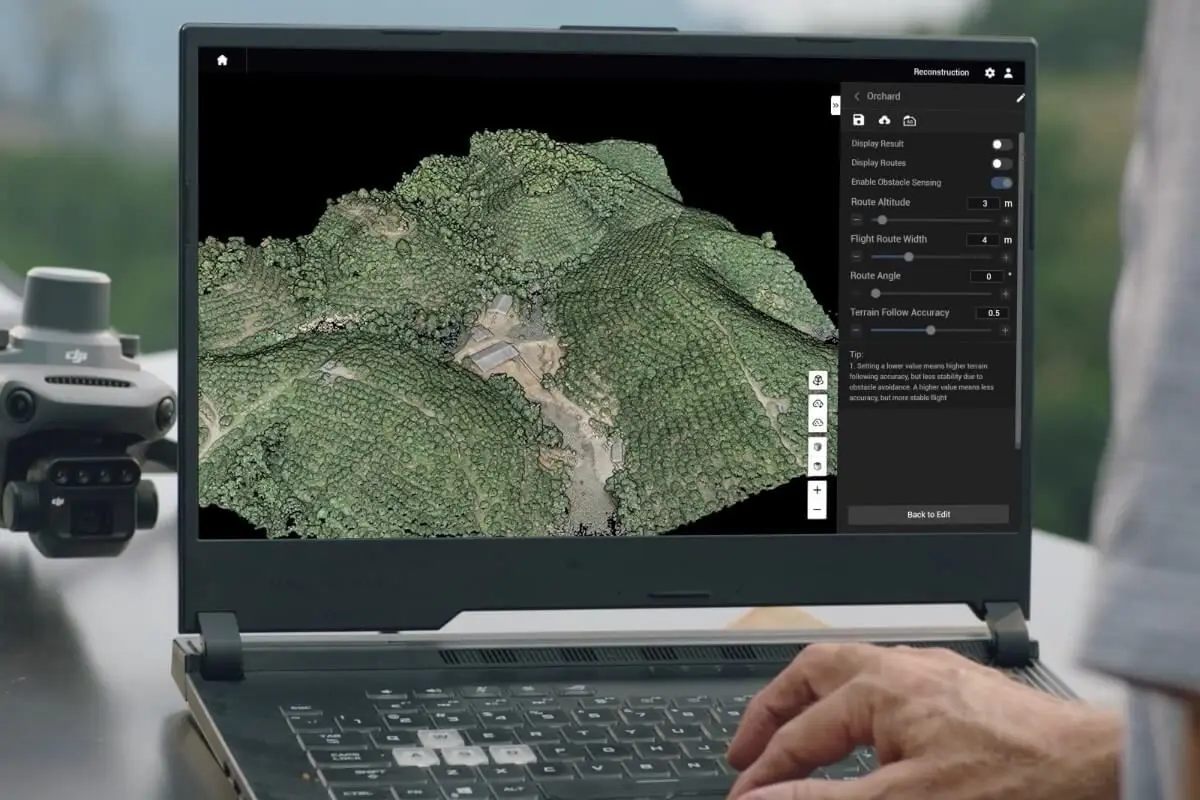
3D terrain model (DTM): drainage analysis and a forecast of topsoil washout.
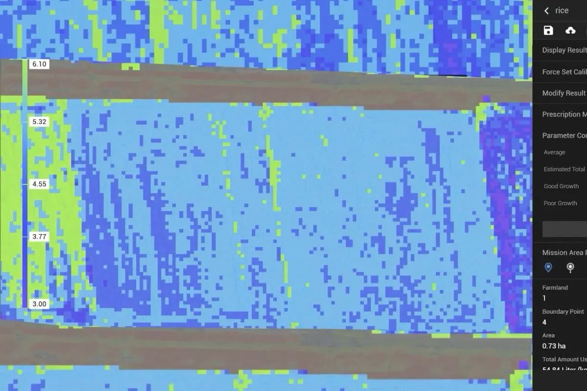
Variable rate application (VRA): fertiliser goes only where it is needed.
05 / 07
06 / Platform
Seamless integration
into your business processes
01Drones — capture: field monitoring, NDVI, orthomosaics.
02NX610 — execution: autosteer and variable rate application.
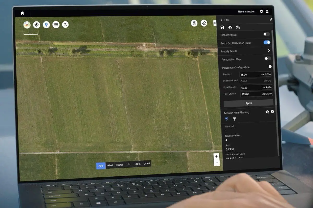
03System — analytics: data processing and prescription maps.
04Dashboard — control: end-to-end analytics for the owner.
06 / 07