Back to site UNB Group
01 / Title

Intelligent infrastructure monitoring platform

  • Drones, artificial intelligence, digital models and O&M automation — inside a single loop.
  • Power grids, cities, roads, construction, agriculture and logistics on one platform.

From an autonomous flight
to a task for the crew
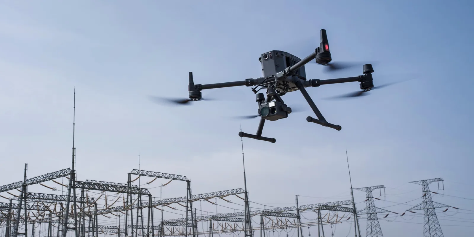
Industrial drone inspecting an electrical substation
PLATFORM: ONLINE
AI ACCURACY: 95%
MODE: AUTONOMOUS
01 / 19
02 / Positioning

From manual inspection
to digital management

Traditional approach
A lineman climbs a pole for a manual inspection
An engineer marks up paper site maps by hand
!Expensive and slow inspections: crews on site, lift trucks and helicopters.
!High human factor: the result depends on the inspector's attention.
!Blind spots: data scattered across reports, spreadsheets and paper maps.
One platform
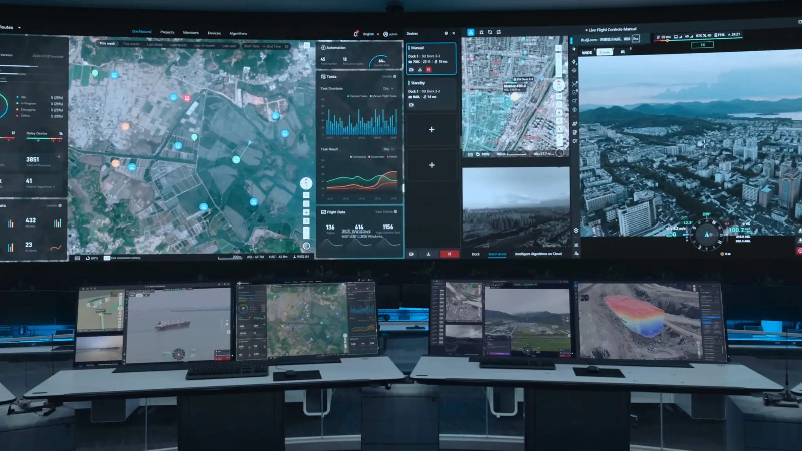
Unified control centre: maps, telemetry and drone video on a shared video wall
✓Autonomous drones: flying and scanning infrastructure along preset routes.
✓2D/3D visualisation: detailed digital twins of assets for analysis.
✓Unified control centre: data management and decisions in real time.
02 / 19
03 / Architecture

Platform architecture:
from data capture to a repaired defect

Closed management loop: inspection, analysis and repair live in one digital environment
03 / 19
04 / Coverage

One digital environment for the whole infrastructure
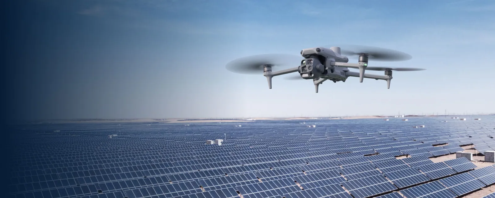
Solar power plant with a drone in flight

Solar plants

Preventing generation losses
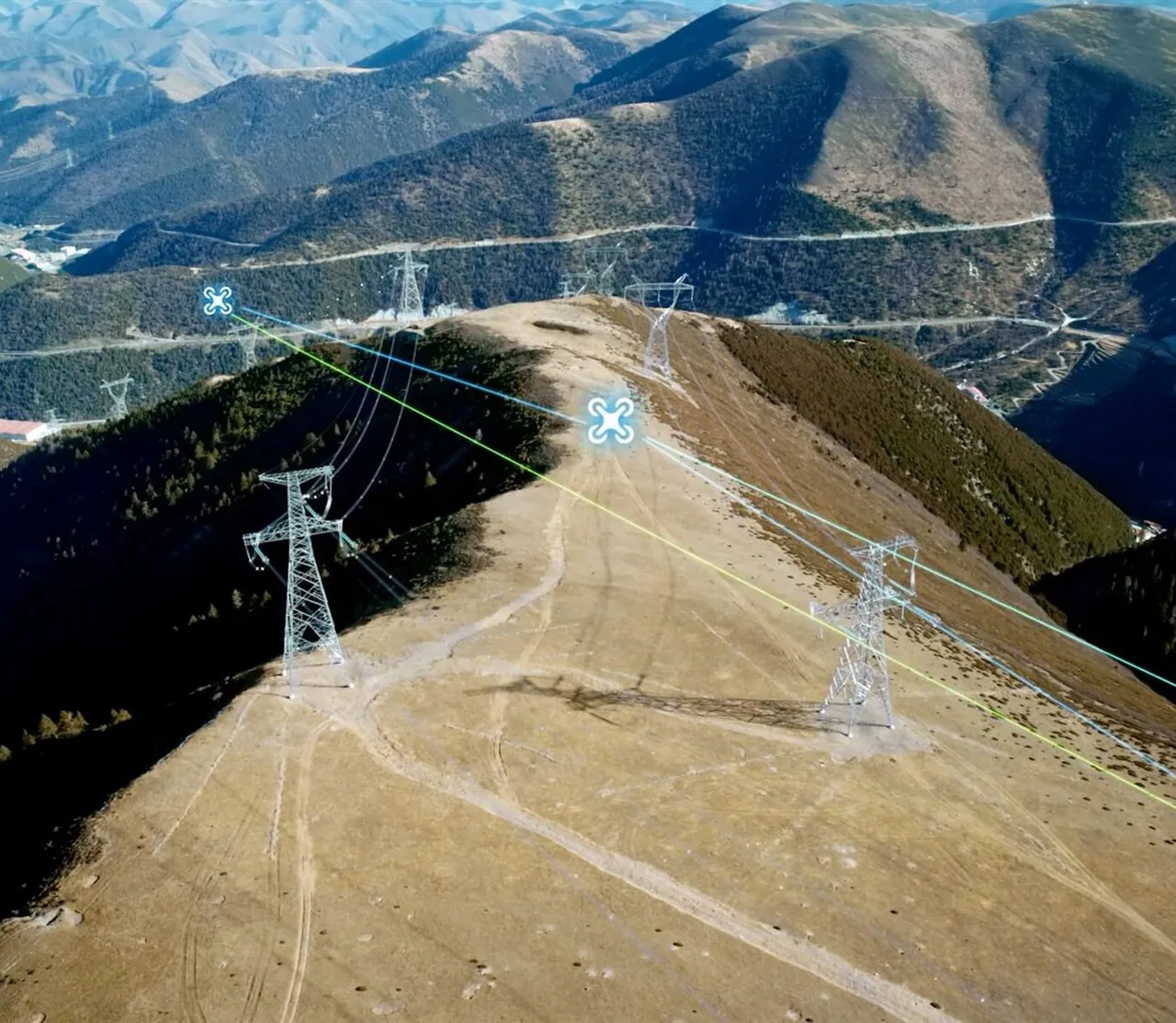
High-voltage line in the mountains and drone flight paths

Power line inspection

Grid stability
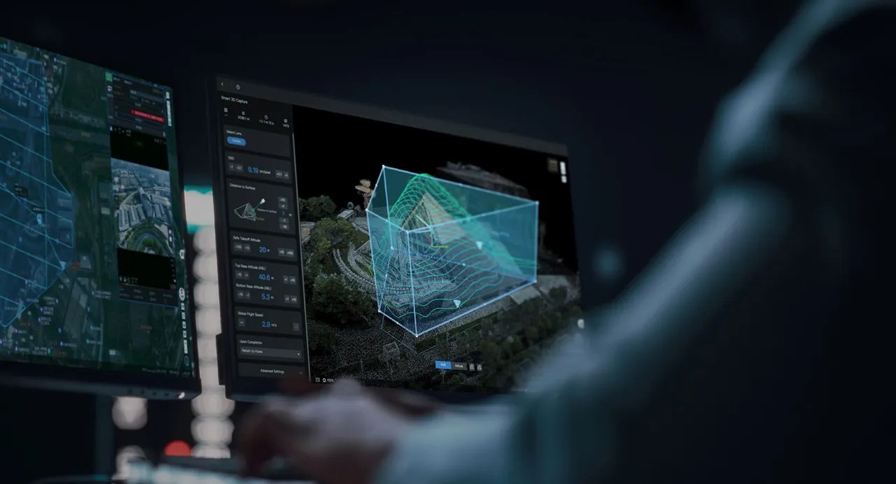
An operator works with a 3D model of urban development

Smart city

Safety of the urban environment
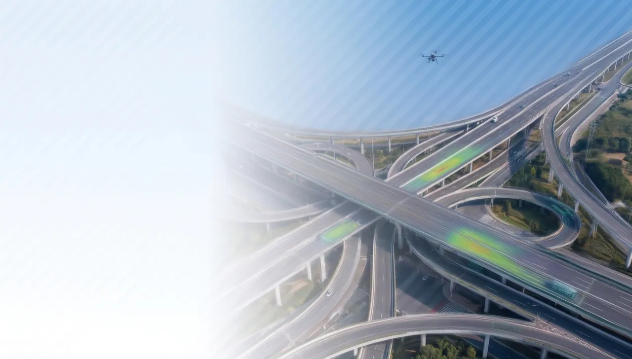
Aerial view of a motorway interchange with a drone on route

Roads

Pavement condition analytics

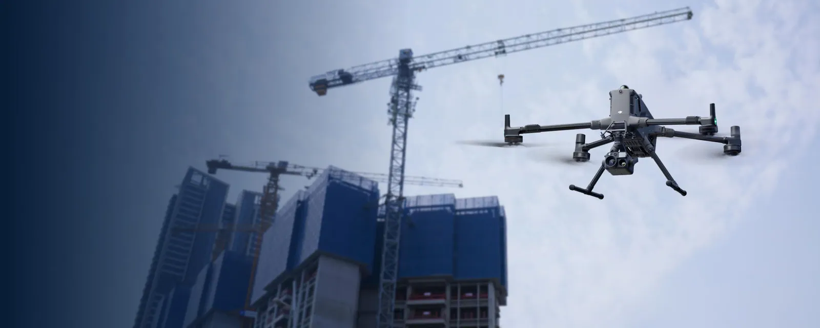
Drone flying over a construction site with tower cranes

Construction

BIM control and progress tracking
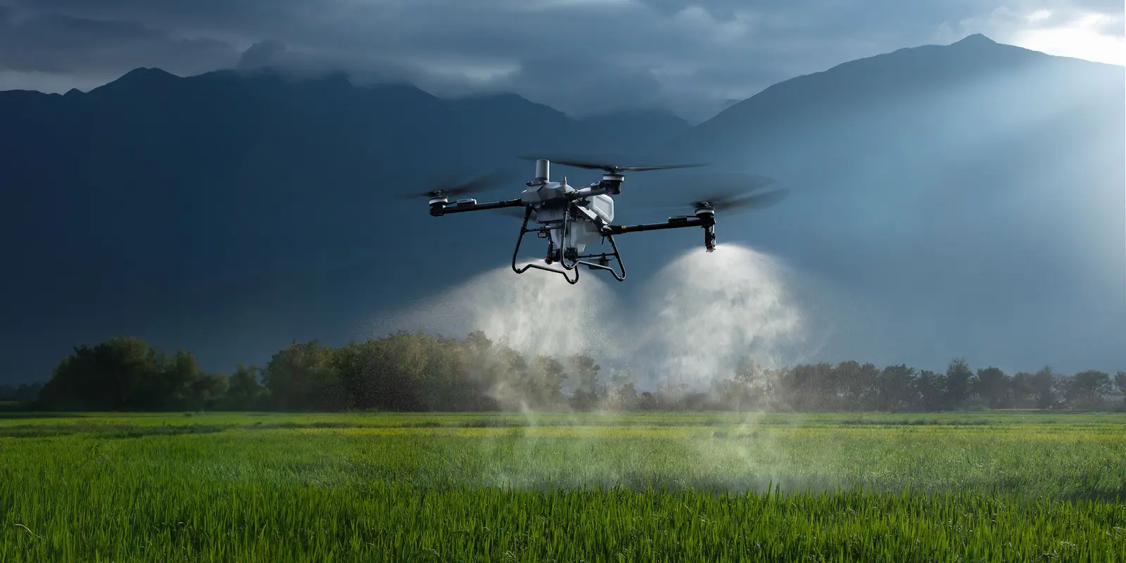
Agricultural drone treating a field

Agriculture

Precision farming and autosteering

Universal scaling: lower costs, faster inspections and higher safety
04 / 19
05 / Segment 01

AI inspection of solar plants

60% of plants lose up to 15% of generation to hidden defects
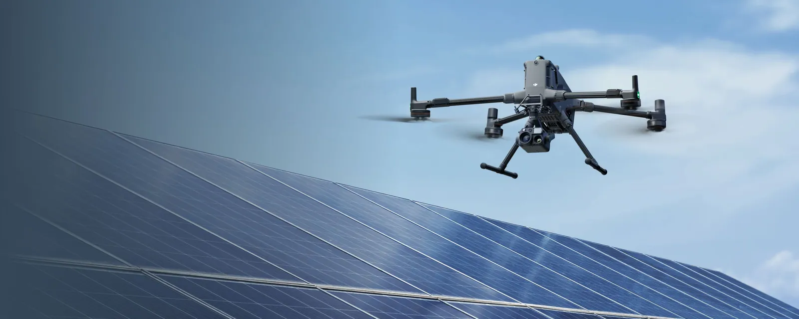
01Hot spots: overheated cells and joints are found by thermal imaging.
02Microcracks: hidden panel damage invisible during a walk-around.
03Soiling and sand: areas losing output to dust build-up.
04Shading: vegetation and structures covering the modules.
A drone surveys rows of solar panels
THERMAL: ON
SCAN: 100 HA/DAY
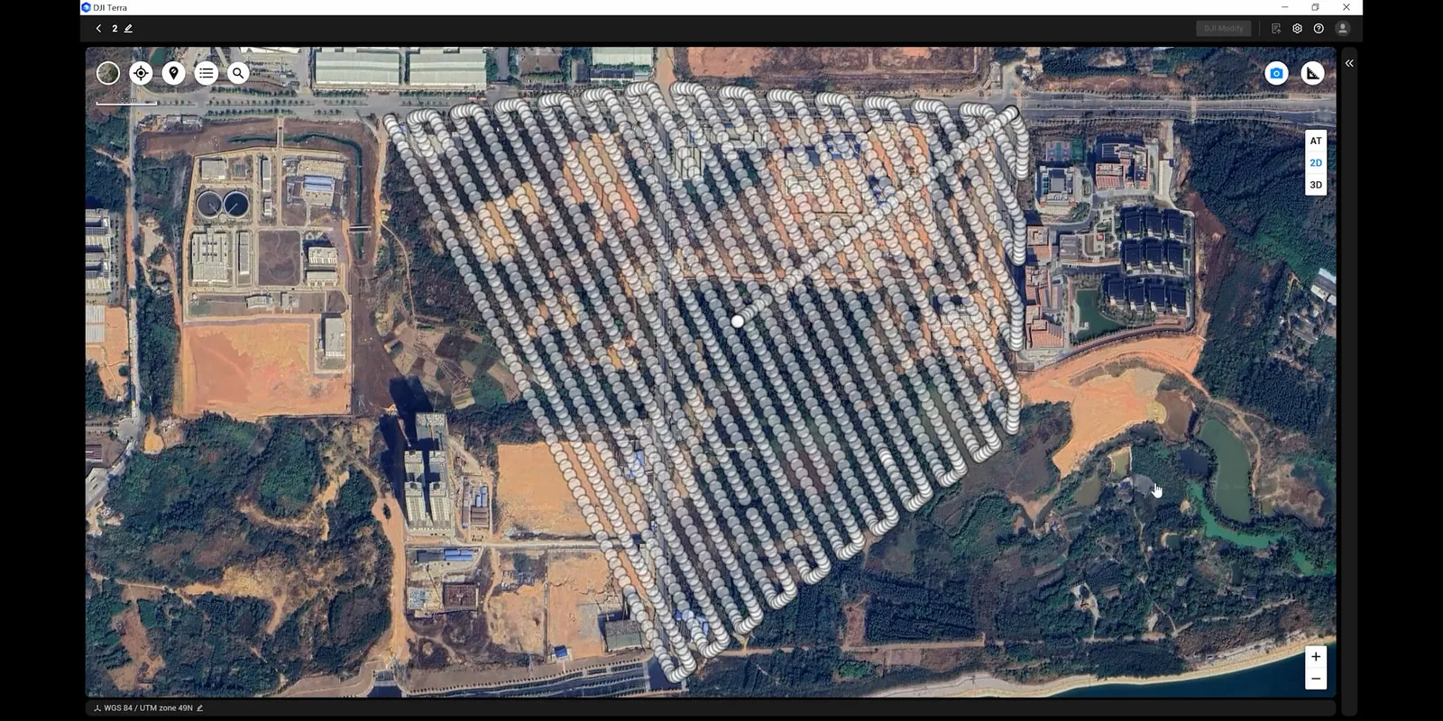
Flight coverage map of the plant
↑ energy output
↓ generation losses
↓ O&M costs
05 / 19
06 / Segment 02

Intelligent power line inspection

AI models reach up to 90%+ recognition accuracy

01Insulator defects: chips, cracks and overheated strings.
02Metal corrosion: wear of tower elements and fittings.
03Broken conductors: damage and unravelling strands.
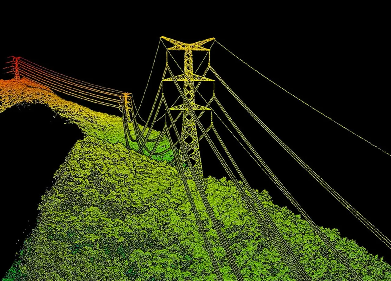
04Dangerous vegetation: clearances to the conductors measured on the point cloud.
Thermal image of the line's protection corridor
IR SCAN
DEFECTS: AUTO
LiDAR point cloud: tower, conductors and vegetation under the line
↓ failure rate
↑ grid stability
↓ downtime
06 / 19
07 / Segment 03

Digital twin of the city

Removing blind spots and merging scattered data about the urban environment.
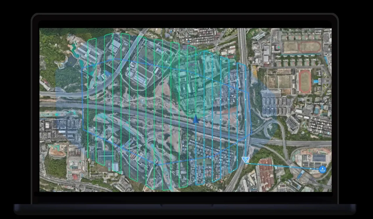
01Traffic anomalies: congestion, accidents and violations on city roads.
02Crowds: monitoring of public events and public spaces.
03Ecology: illegal dumps and spontaneous waste.
04Emergencies: a fast flight over the scene and situation assessment.
Flight plan over a city district on the operator's screen
CITY TWIN
LAYERS: 12
Automatic object recognition on a drone frame
↑ safety
↑ response speed
data-driven management
07 / 19
08 / Segment 04

AI analytics of the road network

From long manual surveys to an interactive map of pavement defects.
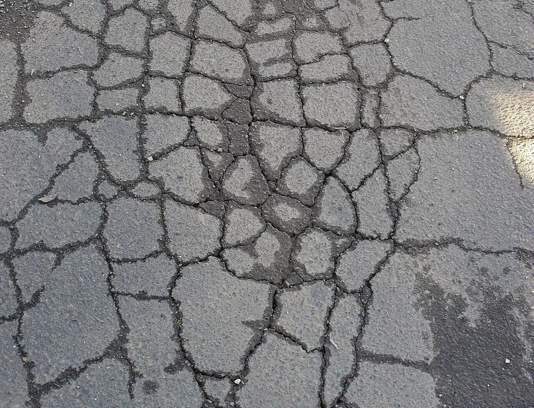
01Potholes: tied to coordinates with an area estimate.
02Pavement cracks: crack networks and opening joints.
03Worn road marking: sections that need repainting.
04Damaged barriers: guardrails, signs and roadside equipment.
Crack network on an asphalt pavement
PAVEMENT SCAN
CRACK: 0.94
↓ accident rate
↑ repair speed
↓ maintenance costs
08 / 19
09 / Segment 05

Autosteering for farm machinery

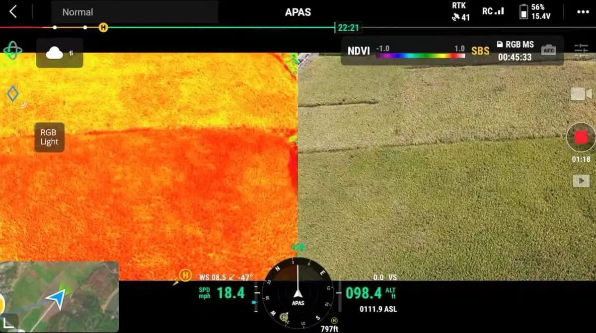
NX610 is an automated machine guidance system for precision farming: it removes the human factor and raises the efficiency of field operations.
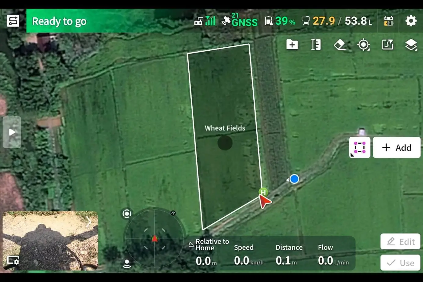
01Accuracy down to ±2.5 cm: minimal overlaps and skips between passes.
02Any speed: stable operation from 0.1 to 30 km/h.
03Versatility: tractors, sprayers and seeders.
04Smart navigation: intelligent routes for fields of any shape.
Route planning screen following the field boundary
NDVI imagery of a field next to the regular view
NX610 turns ordinary machinery into an autonomous field operation system
09 / 19
10 / Segment 05

One Smart Farming ecosystem

A complete solution for digitalising agriculture: drone services integrated with ground machinery.
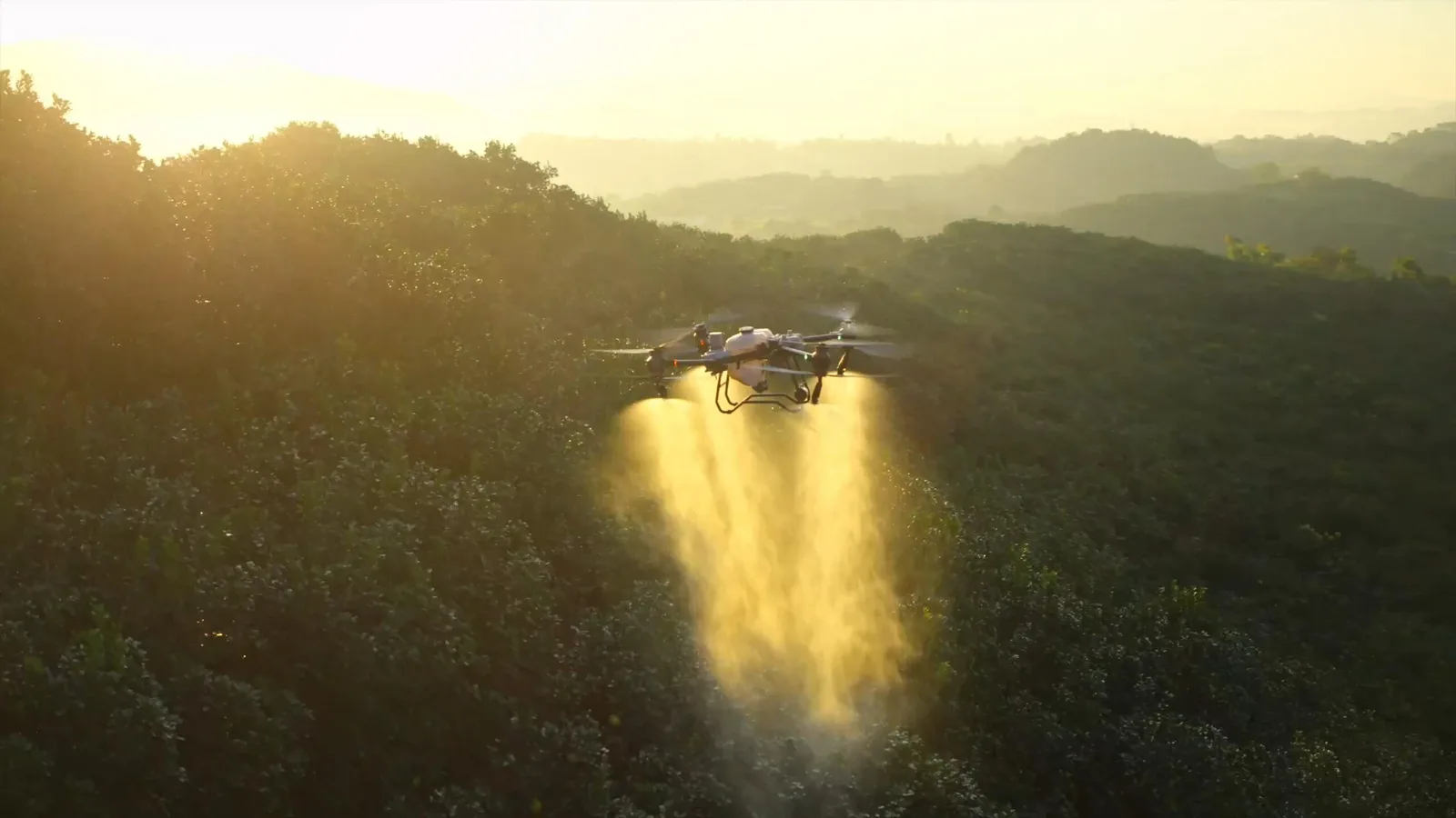
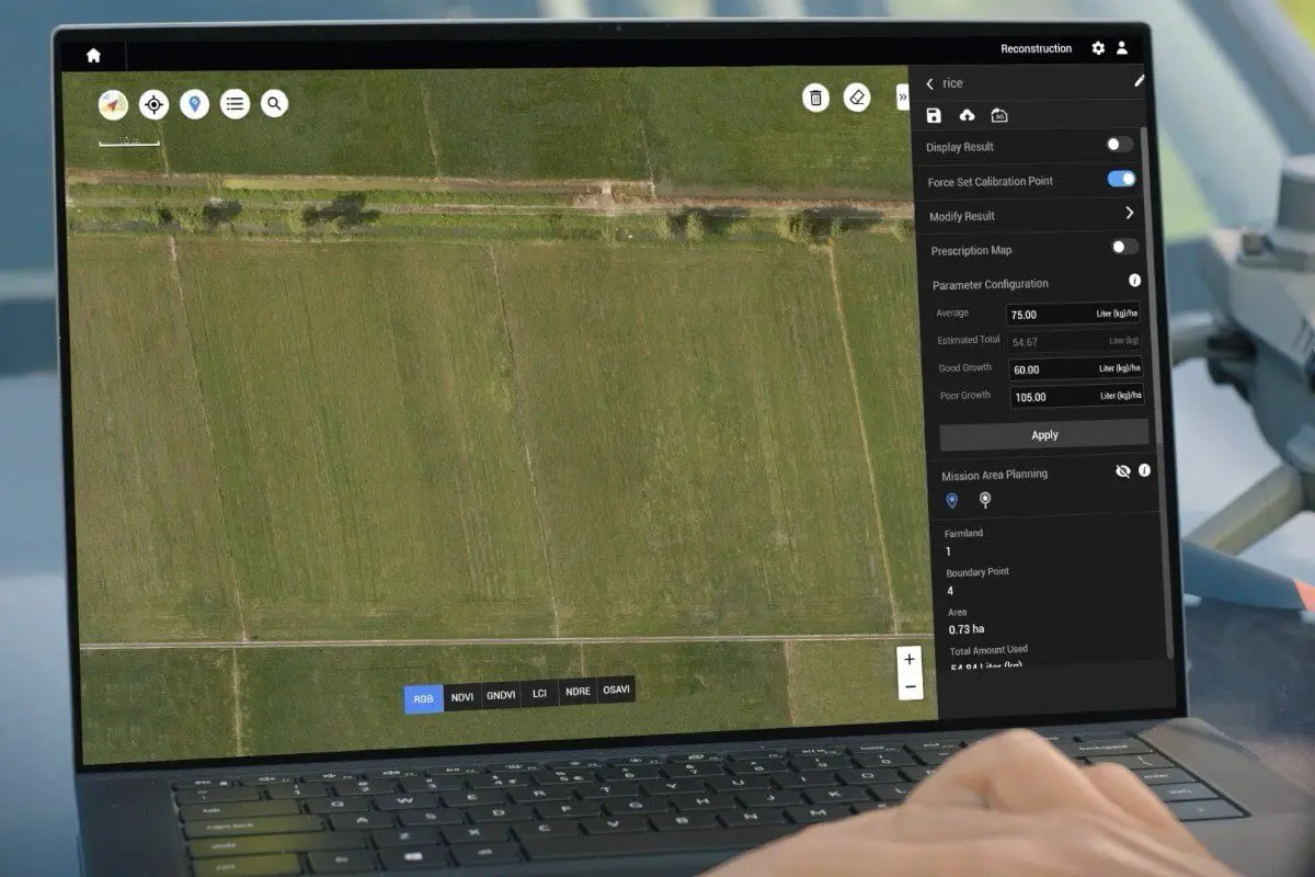
01Air — drones: treatment, monitoring and analysis of field condition.
02Ground — NX610 autosteering: precise field work by ground machinery.
03Centre — digital platform: unified control, oversight and data analytics.
An agricultural drone applying products to a field
Processing field survey data on a laptop
01Lower costs: savings on fuel, fertiliser and working hours.
02Higher yield: thanks to precise application of materials.
03Shorter timelines: optimised timing of every field operation.
04Accuracy: the human factor is removed at every stage.
10 / 19
11 / Segment 06

Automated UAV delivery

An intelligent platform for autonomous logistics and drone fleet management.
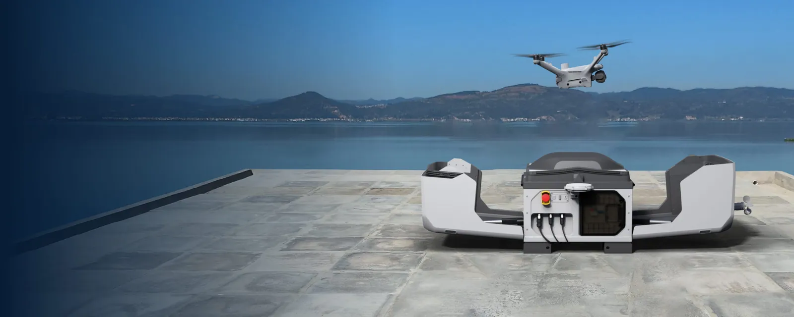
01Automation: autonomous take-off and landing, 24/7 operation from Drone Dock stations without a pilot.
02Flight management: AI Dispatch mission planning and beyond visual line of sight (BVLOS) routes.
03Control: centralised fleet management, telemetry and real-time monitoring.
04Navigation and integration: GNSS and RTK positioning, data exchange with the company's ERP systems.
Automated take-off and landing station for a drone
DOCK: READY
MISSION: AUTO
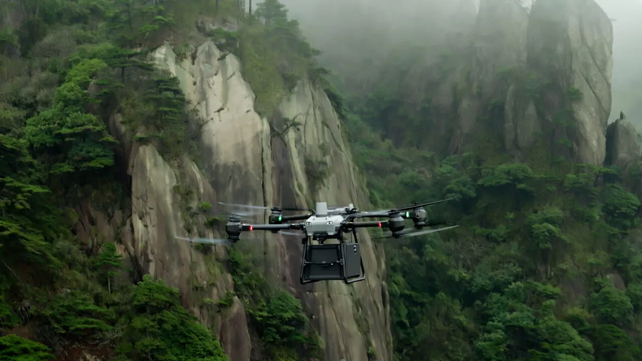
Cargo drone with a container on a mountain route
11 / 19
12 / Logistics

Last-mile delivery

Urban logistics unaffected by road traffic.
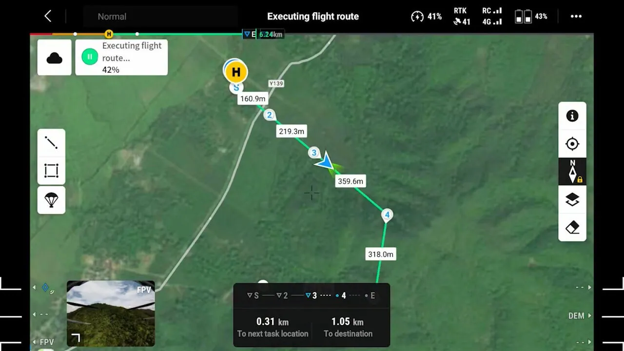
01Use cases: hot food, groceries, online orders, documents and small parcels.
02Less time: delivery in a straight line with zero impact from traffic jams.
03Automation: scheduled missions carried out without an operator.
A flight mission running along its route on screen
12 / 19
13 / Logistics

Industrial and specialised delivery

Payload management integration for complex and mission-critical sites.

Construction

  • Building materials and tools
  • Equipment and components
  • Personal protective equipment

Healthcare

  • Medicines and blood products
  • Laboratory samples
  • Compact medical equipment

Industry

  • Supplies for remote sites
  • Emergency materials and spare parts
  • Specialised equipment

Public services

  • Search and rescue equipment
  • Humanitarian cargo
  • Supply of hard-to-reach areas
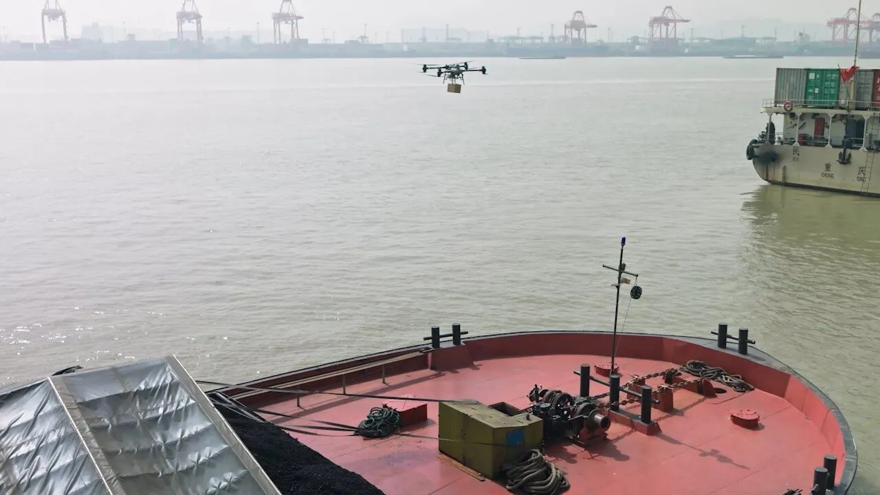
A drone delivering cargo to a vessel in port
PAYLOAD: 10 KG
MODE: BVLOS
13 / 19
14 / Impact

Impact of deploying drone logistics

A transformed operating model and a scalable fleet.
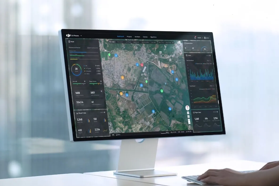
01One loop: centralised fleet management for the whole fleet.
02Scaling: hundreds of missions running at the same time.
03Analytics: a full flight log and telemetry recording.
Cloud dashboard for the drone fleet on a monitor
FLEET: 132
MISSIONS: 2 340
↓ 60%

Costs

Lower O&M by dropping ground transport and manual labour.

× 10

Speed

Faster logistics chains compared with traditional delivery.

100%

Safety

No risk to personnel along the route.

95%+

Accuracy

Error-free mission allocation by AI Dispatch algorithms.

14 / 19
15 / Segment 07

Digital construction control

BIM/CAD integration against data errors and delays
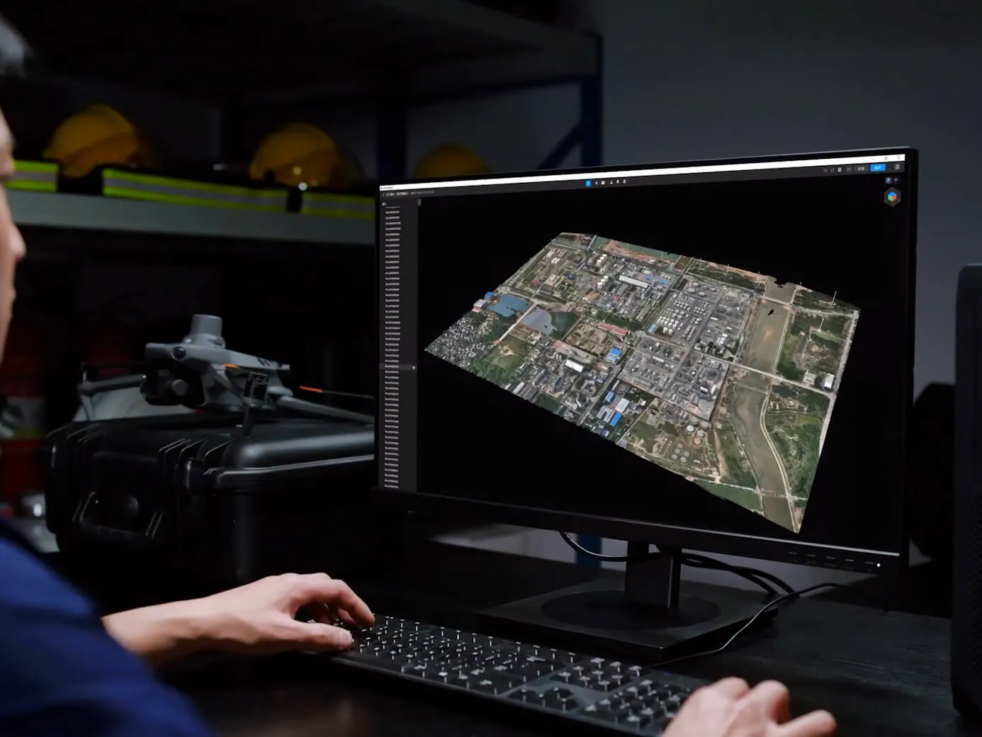
01Construction progress: regular flights and plan-versus-actual comparison by stage.
02Safety violations: automatic monitoring of the site.
03Volume and quality control: earthwork and material counts taken from the model.
3D model of the site on an engineer's screen
AS-BUILT
BIM-READY
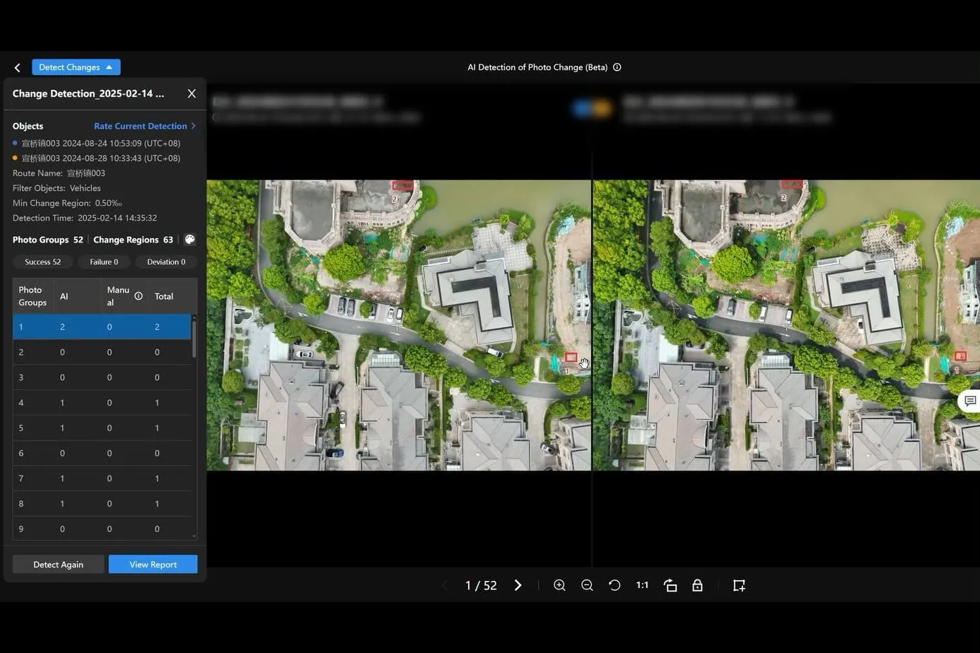
Automatic comparison of two site surveys
↓ budget overruns
↑ schedule control
↑ project transparency
15 / 19
16 / Technology

Smart analytics: threat detection and classification

Up to 80% of network elements are classified by the platform fully automatically. The algorithms do not merely collect photos — they find threats themselves in difficult lighting and geometry.

Insulator string and conductors on a tower
INSULATOR · 0.95
AI DETECTION
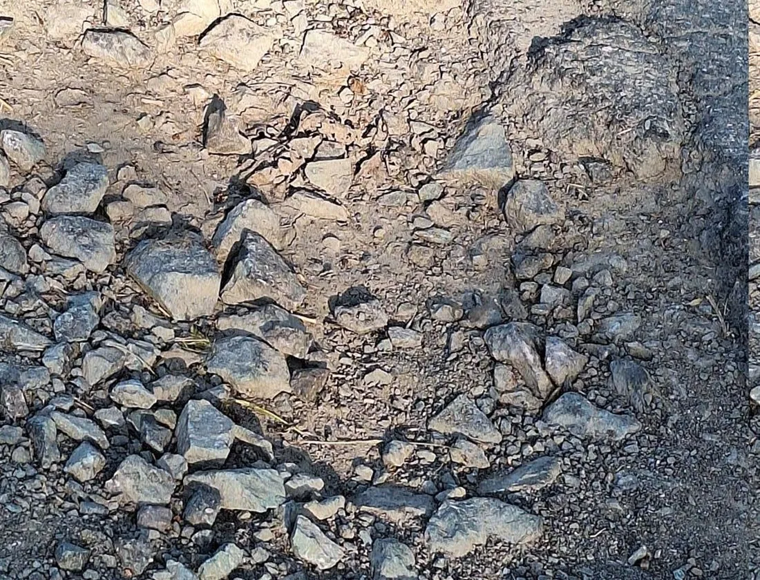
Pavement failure with a pothole
POTHOLE · 0.96
AI DETECTION
Overgrown vegetation along a road and a line
VEGETATION · 0.92
AI DETECTION
Worn road marking on the carriageway
WORN MARKING · 0.93
AI DETECTION
16 / 19
17 / Operations

From a detected defect to an O&M work order
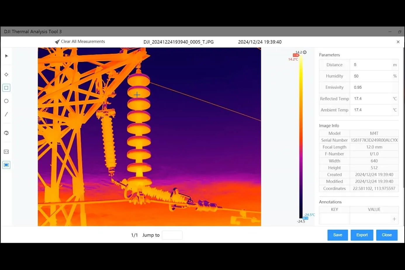
Thermal analysis of an insulator defect in the software
01 / Automatic work order creation
Work order
Order number23392727
Defect typeDamaged insulator
PriorityHigh
LocationTower 123, 500 kV line
02 / Defect prioritisation
Crew mobile app
CrewNo. 4
AssetTower 123 · 500 kV line
DepartureToday, 14:00
Accept the task →
03 / Crew assignment
Closed loop: inspection → analysis → work order → repair
17 / 19
18 / Business impact

Business impact: a transformed operating model

↓ 60%

Lower costs

No more expensive manual inspections and helicopter flights.

× 10

Higher efficiency

Routine checks fully automated: 100–500 km of lines covered per day.

95%

Transparency

Online access to the defect history and the digital twin of the asset.

0

Reliability

Zero risk to people: defects are found early and incidents are prevented.

Inspections without shutting the asset down or working at height
One history of the asset instead of scattered reports
18 / 19
19 / Scale

Scalability: from a pilot to the whole network

The platform already runs on hundreds of assets: start with a pilot on one section and roll it out across the network without changing tools.
Emailinfo@unbgroup.uz
Websiteunbgroup.uz
Contact personAkmal Karimov
Phone+998 94 388 88 82
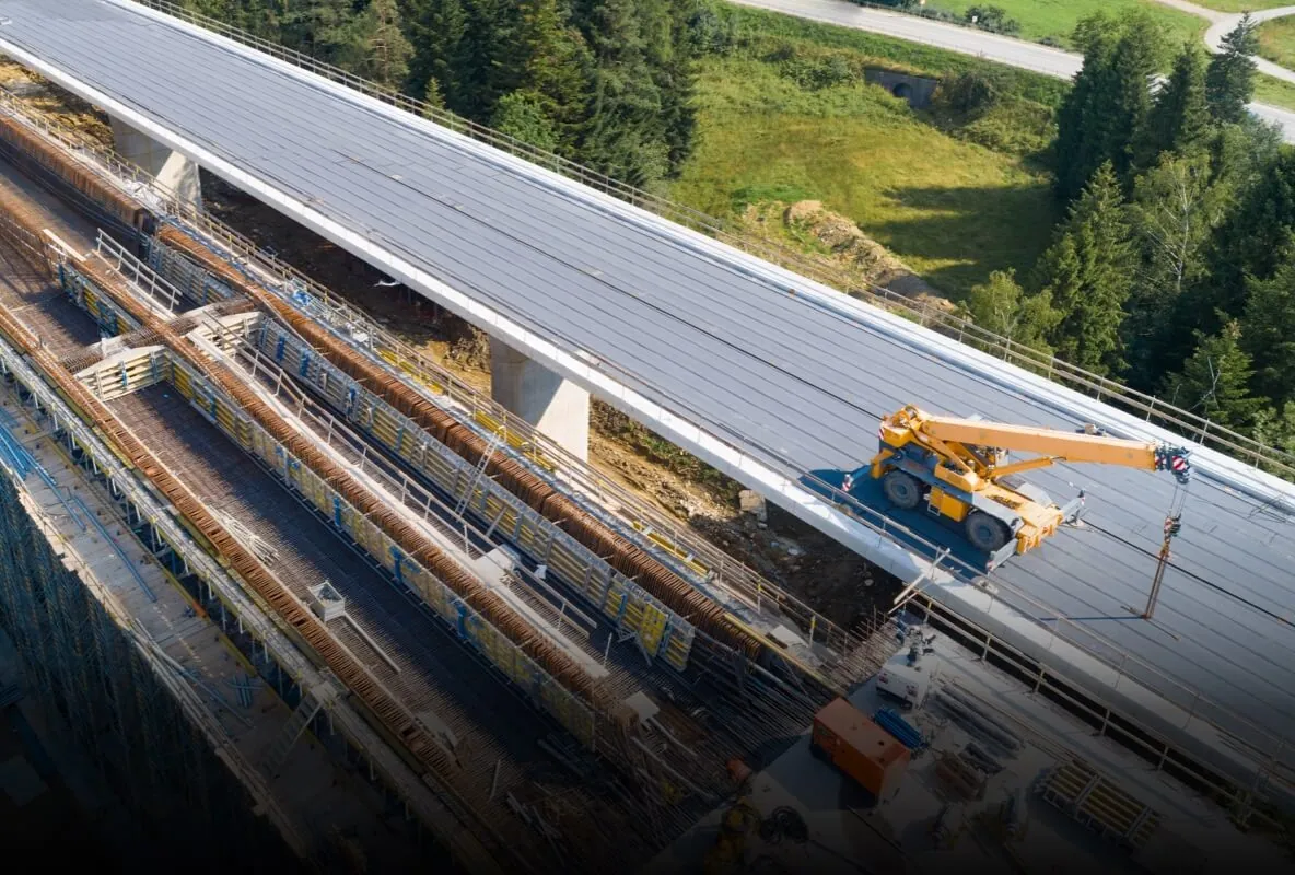
An infrastructure asset seen from the air
OBJECTS: 500+
CONTROL: CENTRAL
Centralised control of every asset from a single centre
19 / 19