01 / Cover
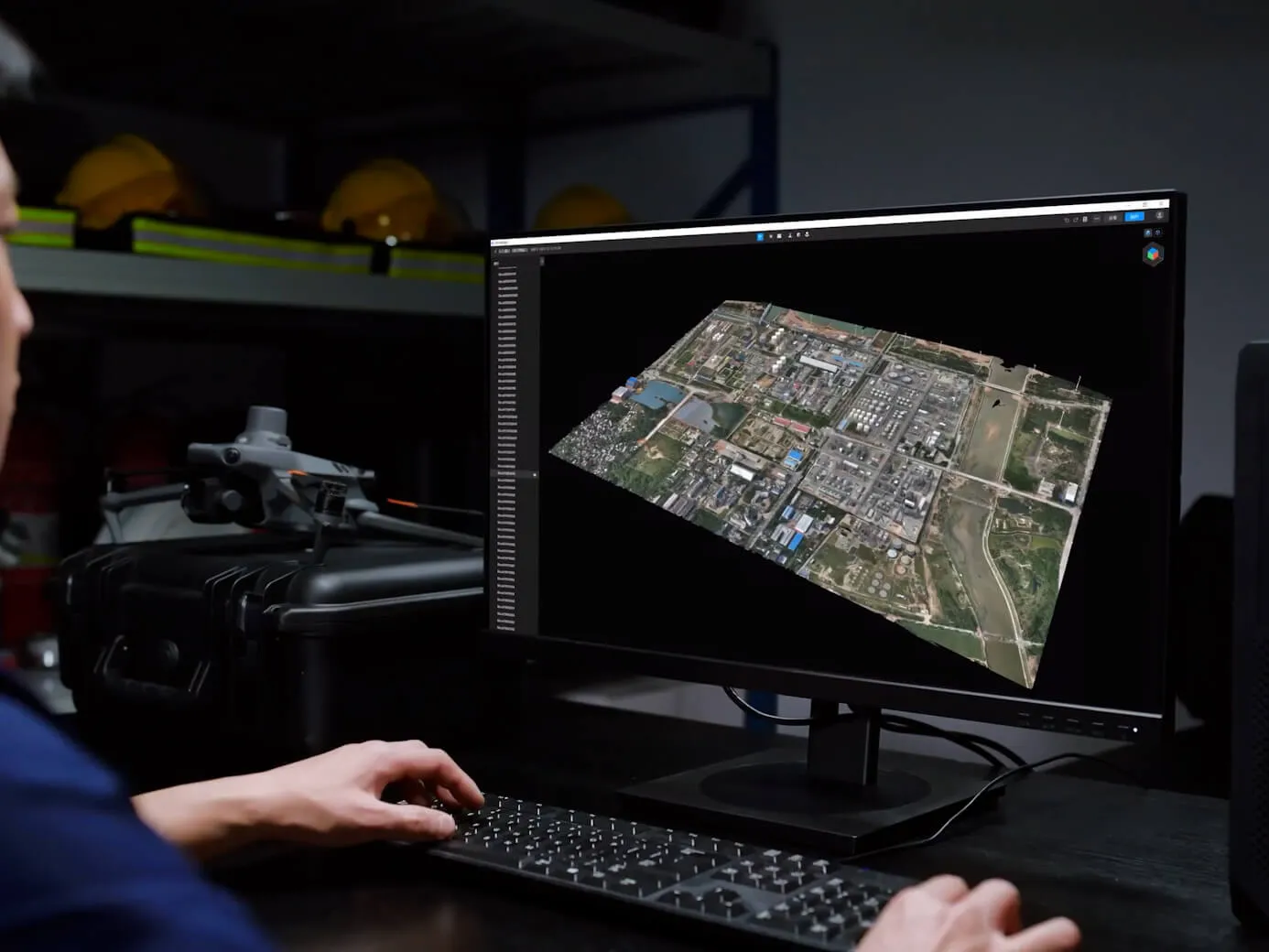
Modern mapping: a digital twin of your site
- Drone-based surveying solutions: capture, processing and deliverables in a single cycle.
- Orthomosaics, digital terrain models and topographic surveys for design and cadastral work.
Absolute accuracy
down to 1 centimetre
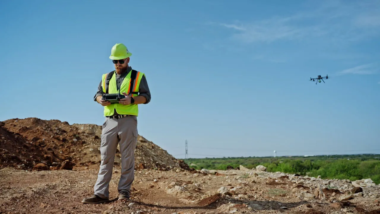
RTK STATUS: FIXED
PRECISION: 1 CM
GSD: 1.2 CM/PX
PRECISION: 1 CM
GSD: 1.2 CM/PX
01 / 07
02 / Positioning
A shift in approach: from spot measurements
to full coverage
Traditional methods
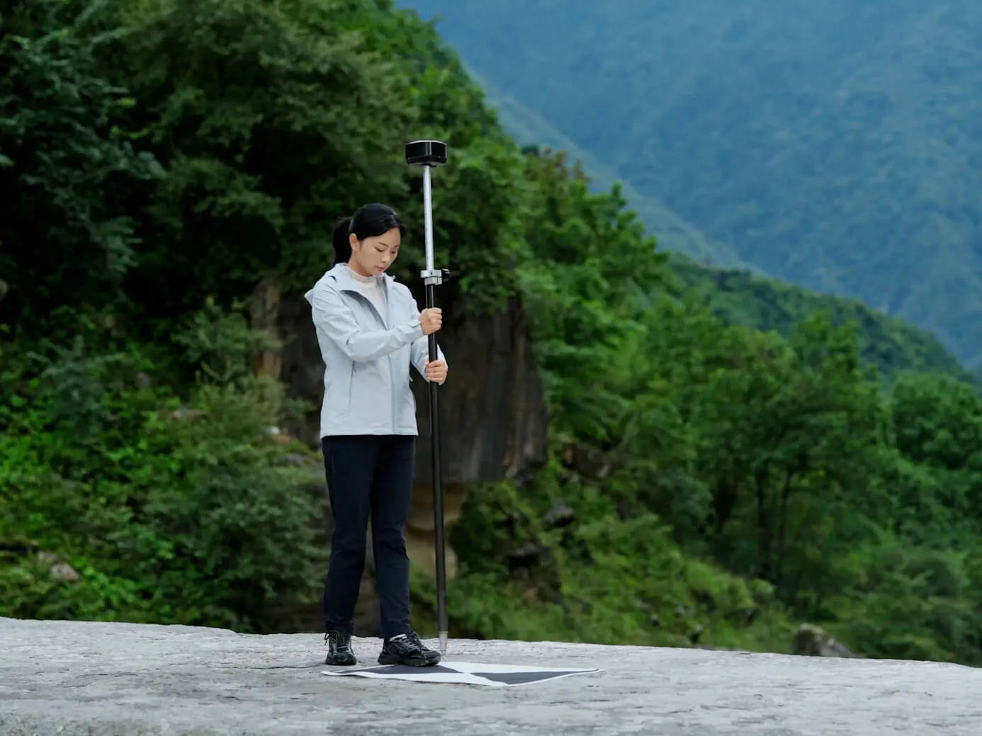
!Slow data collection that depends on the human factor.
!Gaps and blind spots across difficult terrain.
!Limited access to hazardous and hard-to-reach areas.
Drones + RTK
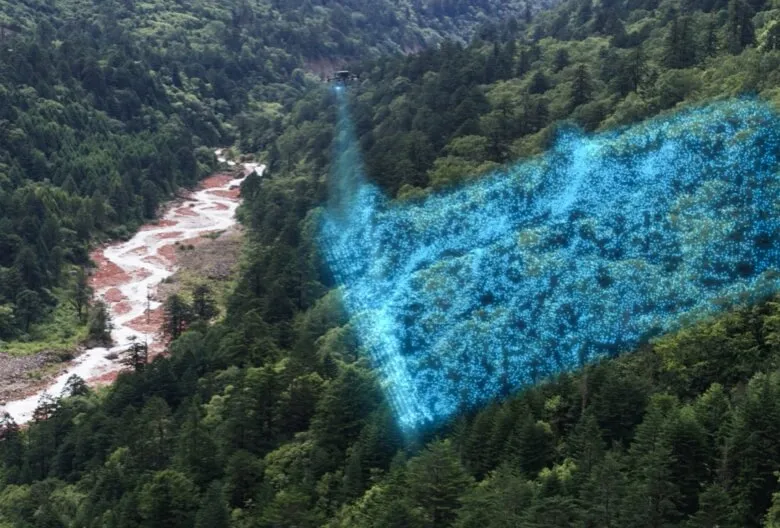
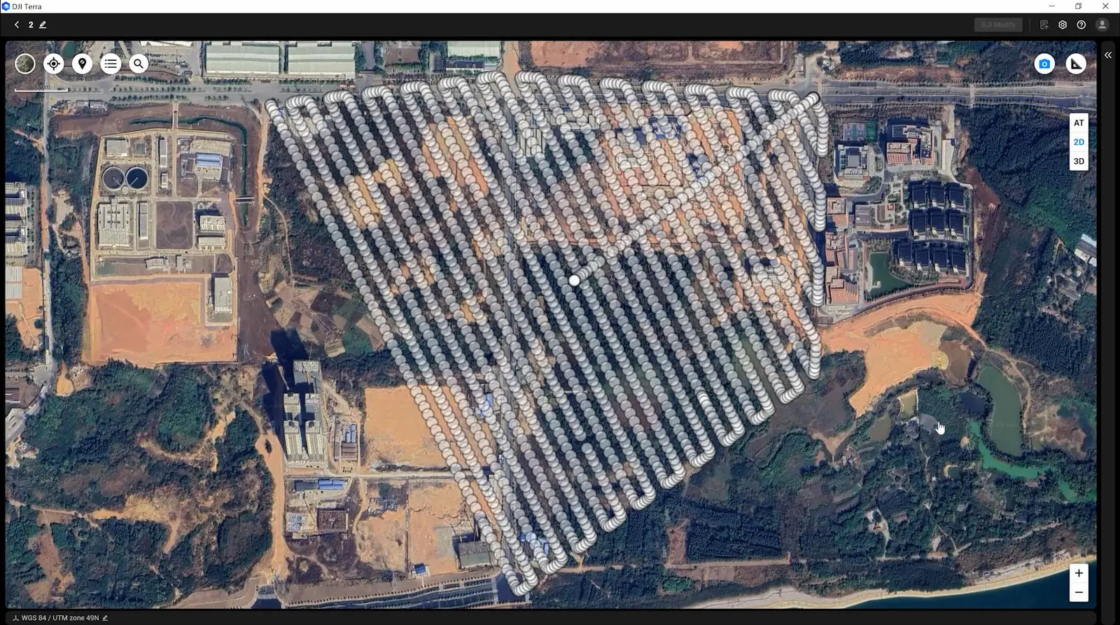
✓Speed: up to 100 hectares surveyed in a single day.
✓Coverage: continuous scanning — millions of points, not hundreds.
✓Safety: hazardous assets surveyed without contact.
02 / 07
03 / Technology standard
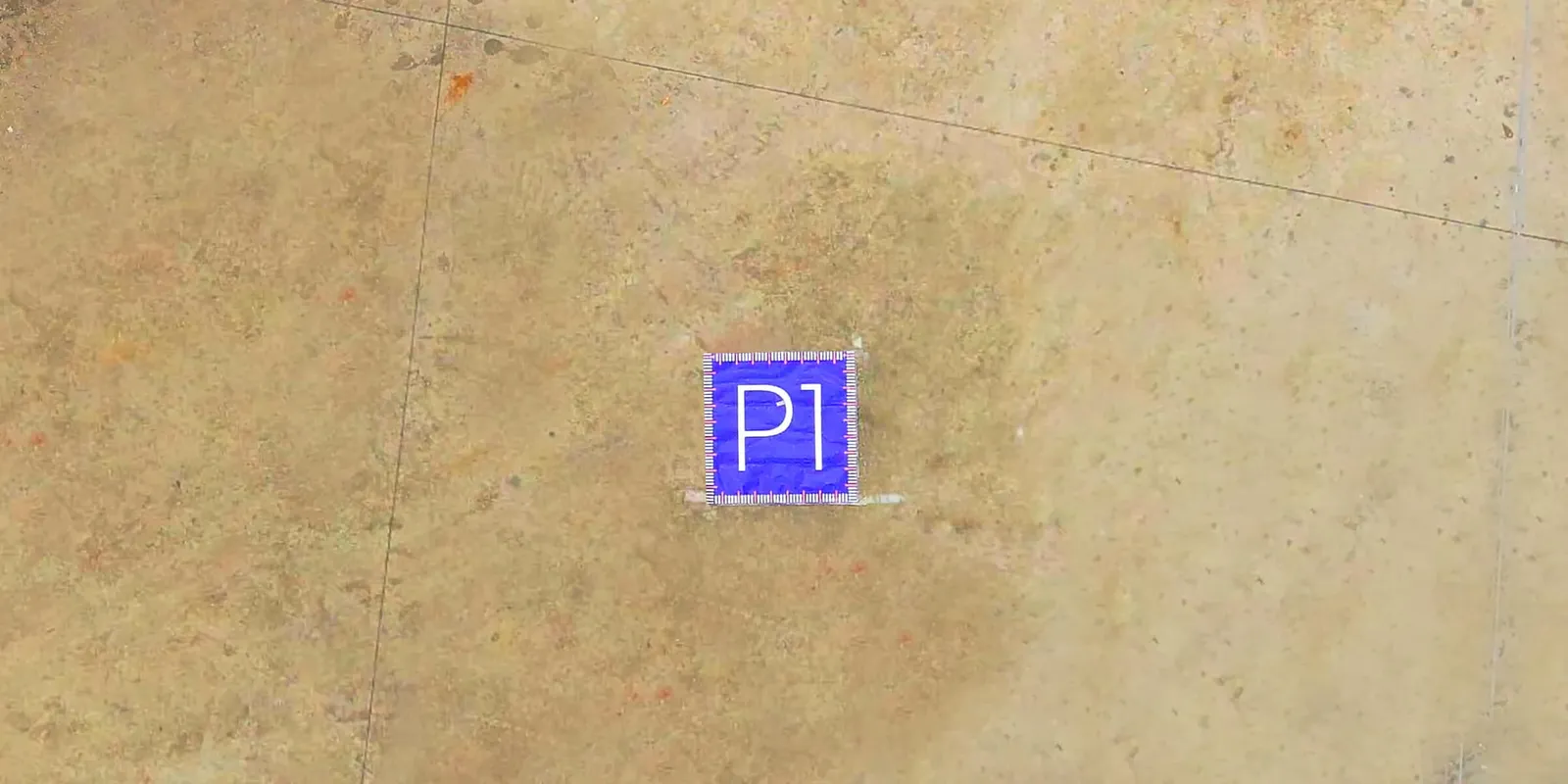
Real-time kinematics (RTK)
01RTK module: instant satellite correction of coordinates — horizontal and vertical error no more than 10 mm.
02Minimal ground control: less dependence on ground control points, field work 3× faster.
03Validation: deliverables prepared to meet cadastral registration requirements and the relevant design standards.
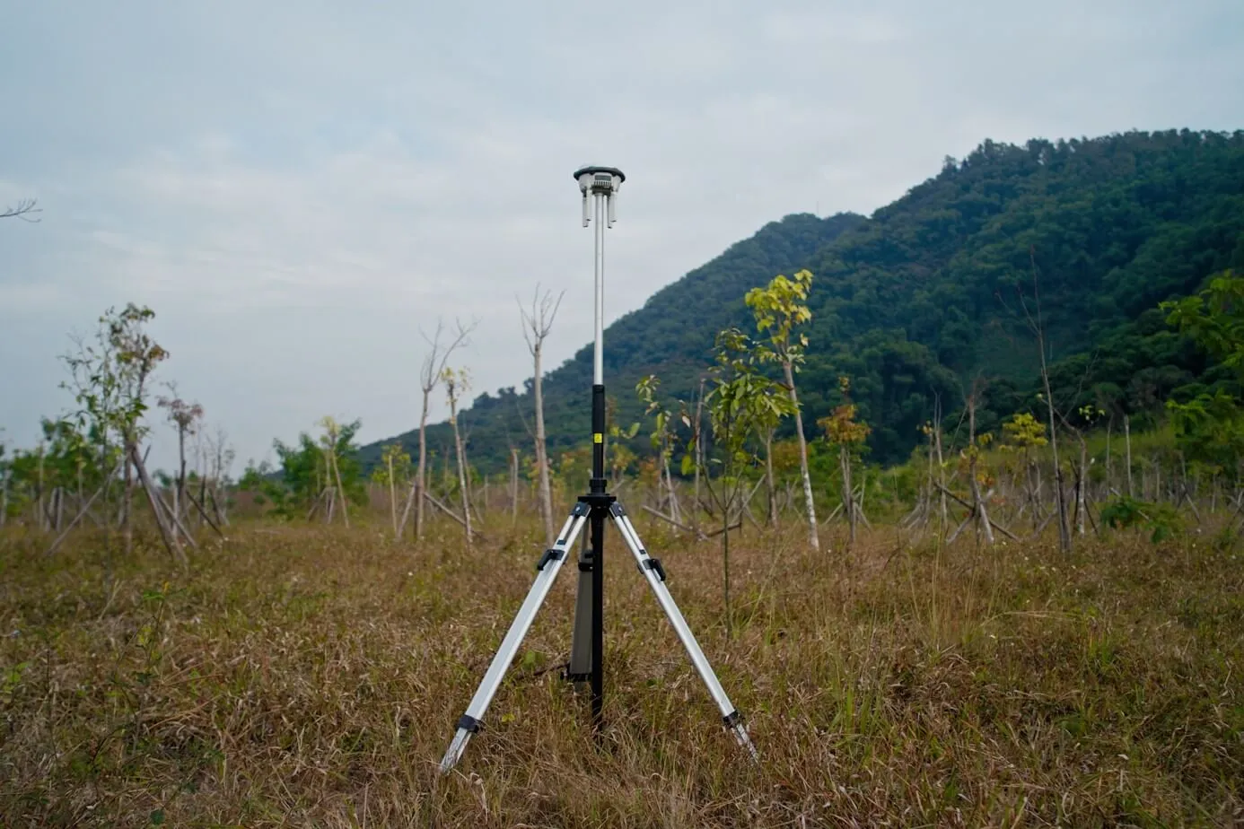
RTK SYNC: 100%
BASE: FIXED
BASE: FIXED
03 / 07
04 / Deliverable 01
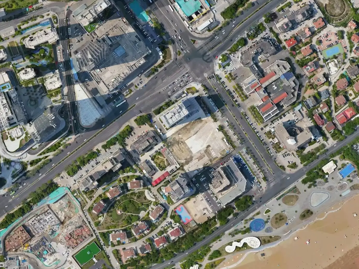
Orthomosaic production
GSD down to 1 cm / pixel01Absolute geometry: photographic quality with the mathematical accuracy of a map.
02Inventory: cadastral registration, detection of encroachments and overlapping boundaries.
03Monitoring: as-built records that keep contractor work under control.
ORTHOMOSAIC
GSD: 1.0 CM/PX
GSD: 1.0 CM/PX
04 / 07
05 / Deliverable 02
Digital terrain and surface models (DTM / DSM)
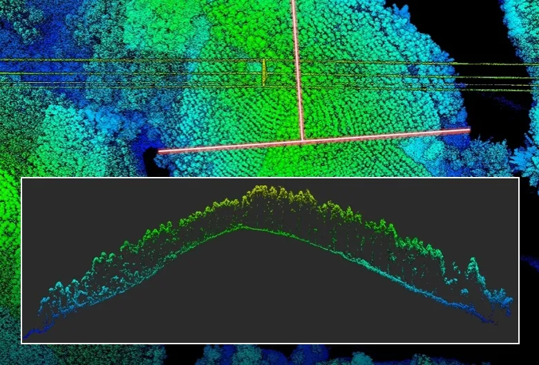
Point cloud: raw survey data — millions of measurements.
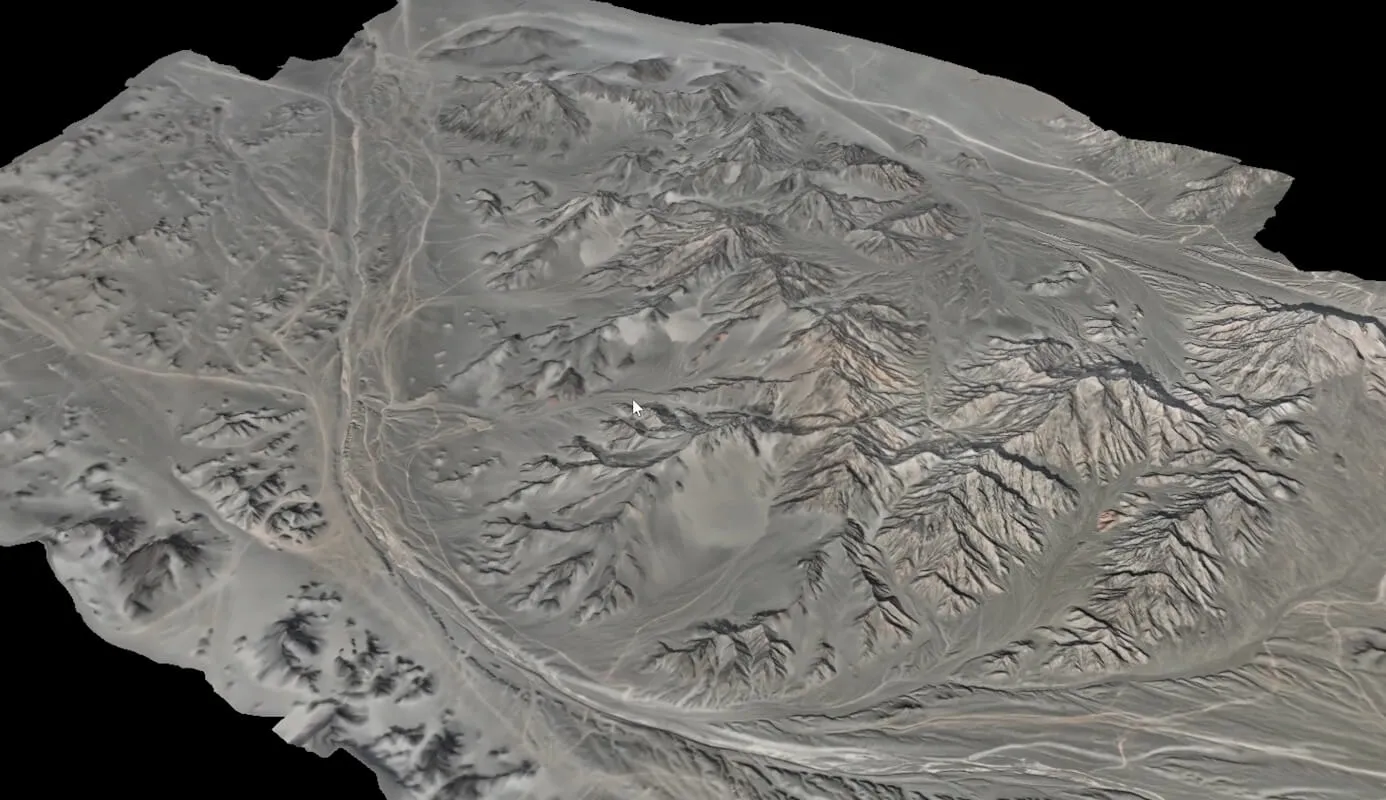
TIN mesh: a terrain surface ready for calculations and design.
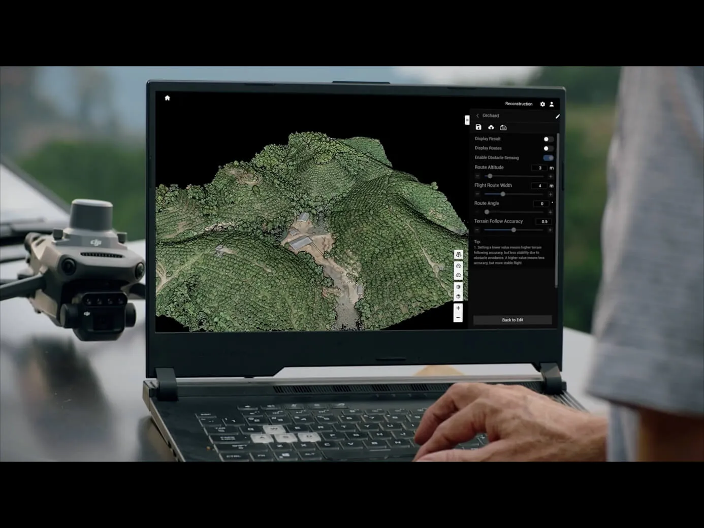
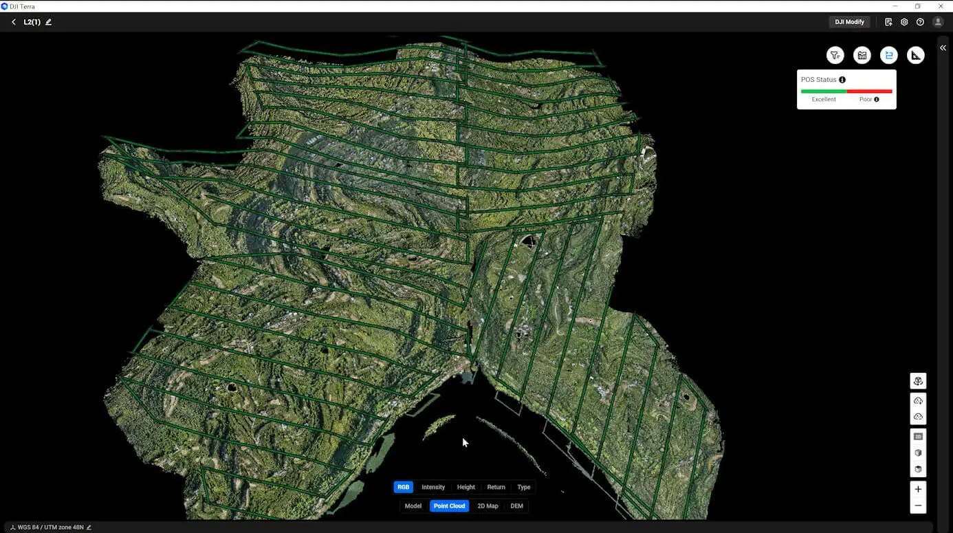
3D model: a textured twin of the site for work and presentations.
01Data density: thousands of points per square metre — no blind spots.
02Slope design: analysis of drainage, sunlight and vertical planning.
03Volume calculation: cut and fill of earth masses with an error of < 1%.
05 / 07
06 / Deliverable 03
Topographic surveying in a new format
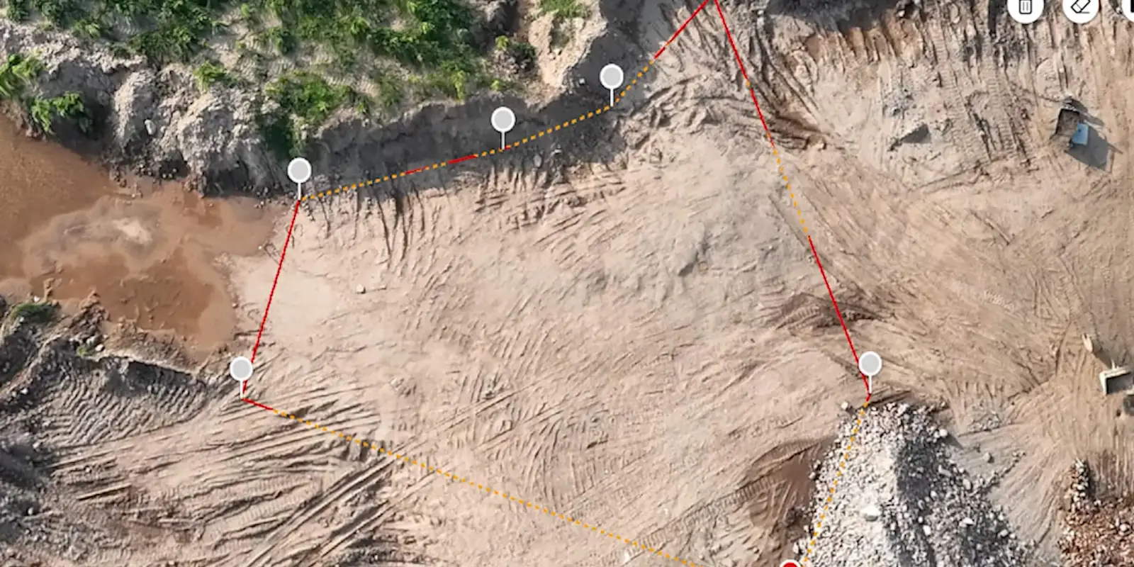
01Every scale: plans at 1:500, 1:1000 and 1:2000.
02Vectorisation: point clouds converted into standard drawings with no loss of quality.
03Combined approach: aerial survey plus ground checks of underground utilities.
06 / 07
07 / Outcome
Seamless integration
into your business processes
01Cadastral engineer: land surveying and boundary registration.
02Builder: control of earthworks and volumes.
03Architect: BIM and the master plan.
04Investor: budget and progress monitoring.
ENGINEERING BASE
BIM-READY
BIM-READY
07 / 07