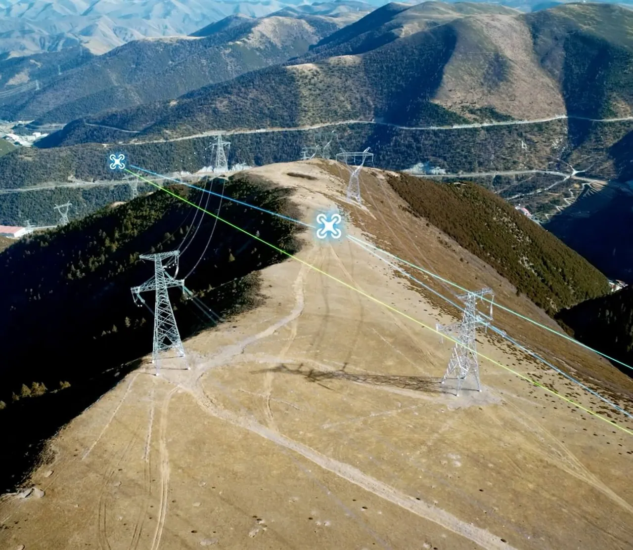
Where power line inspection stands today
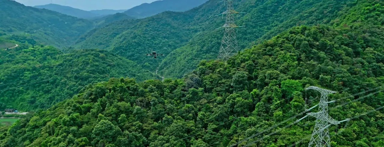
Fully autonomous inspection
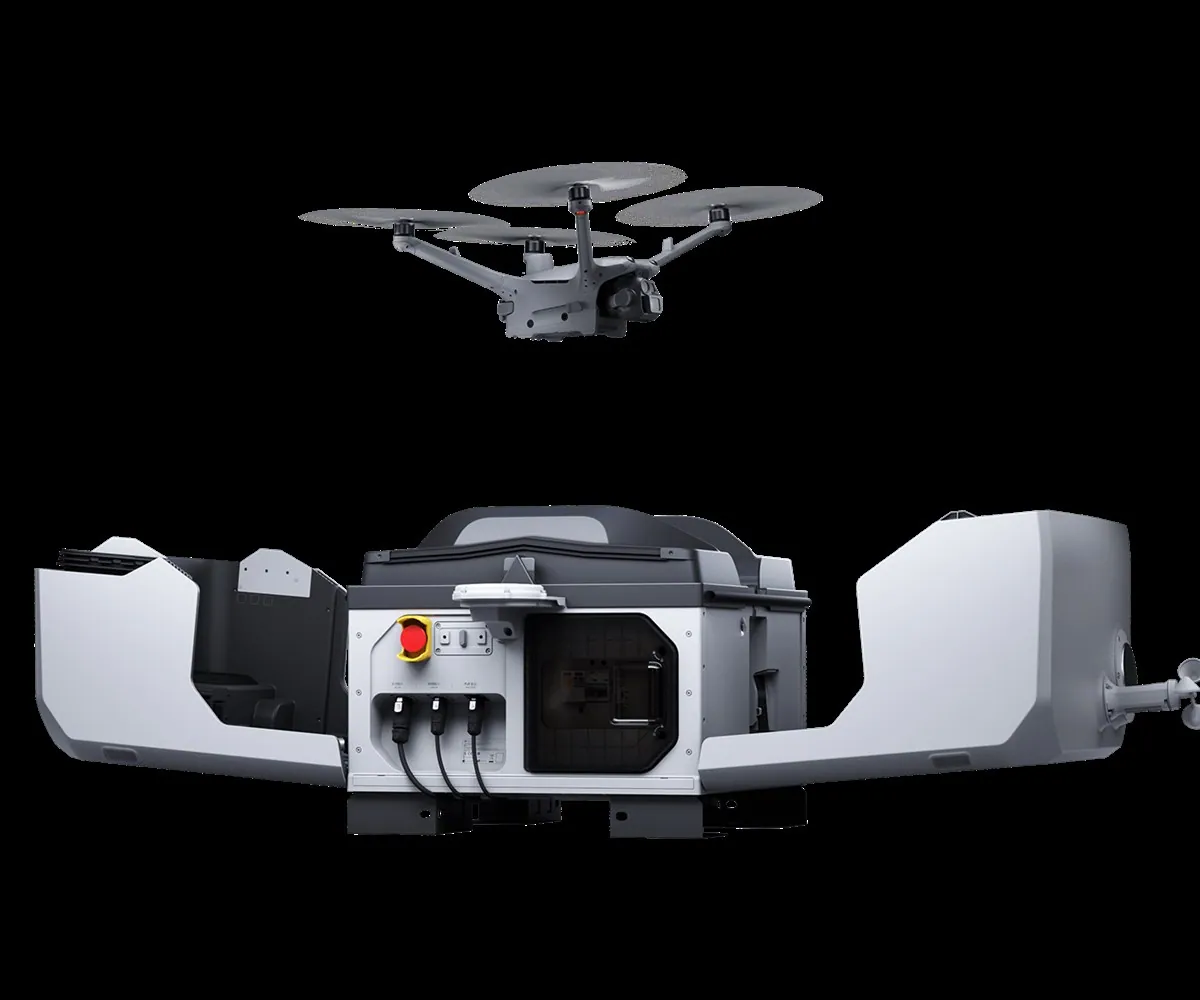
Smart line inspection:
AI + computer vision
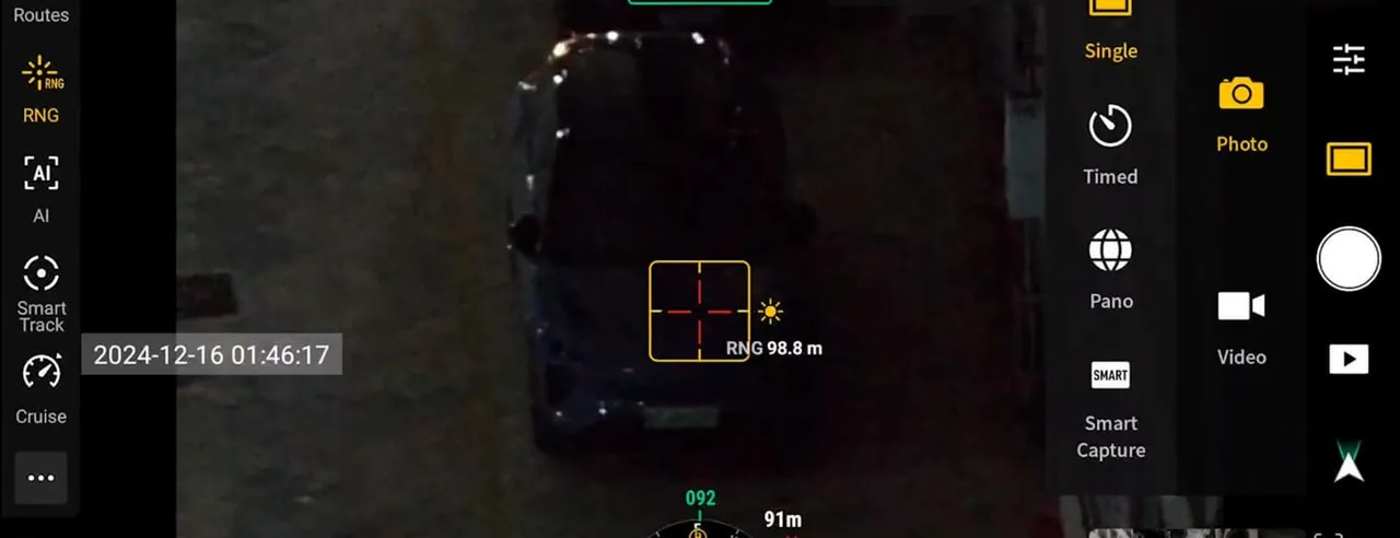
conductors and insulators
on the asset
defects and risks
analysis
A range of intelligent cameras
for power line monitoring
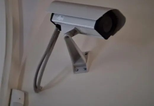
Fixed camera
Baseline continuous monitoring of a chosen stretch of the grid.
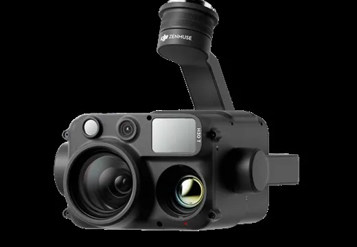
Multi-lens camera
360° panoramic coverage — no blind spots at all.
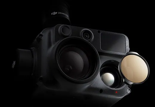
PTZ camera
Controlled pan and powerful zoom for detailed coverage of wide areas.
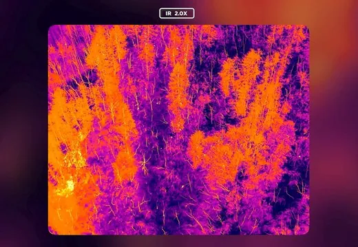
Thermal camera
High-precision detection of overheating and thermal anomalies, preventing failures.
A camera mounted directly on the conductor
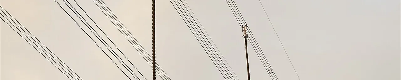
that can be integrated:
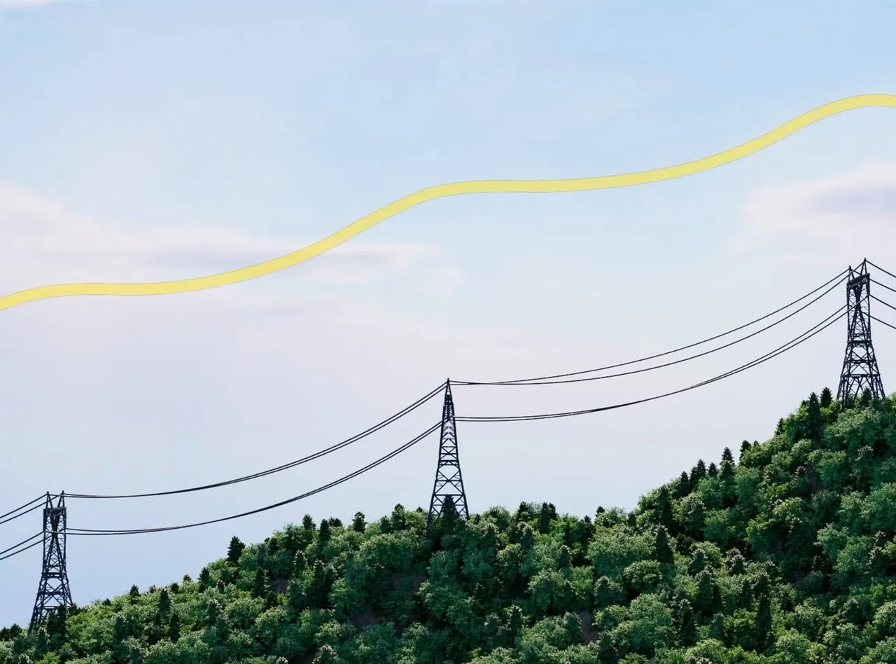
Flying the lines:
intelligent navigation
Flight along the line (imitation flight)
Automatic heading detection
Route building
Avoiding crossings and obstacles
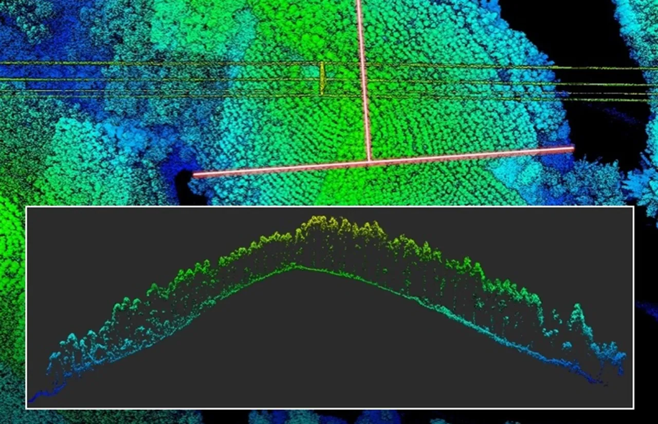
Data and analytics:
data-driven management
Photos tied to coordinates
Online data transfer
Inspection history
Condition tracking for every tower
Work management (O&M):
from defect to job
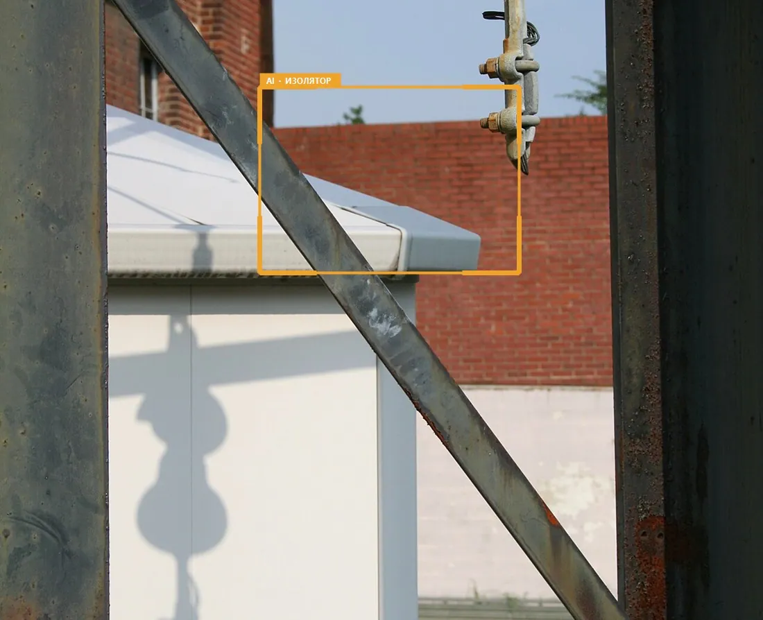
job creation
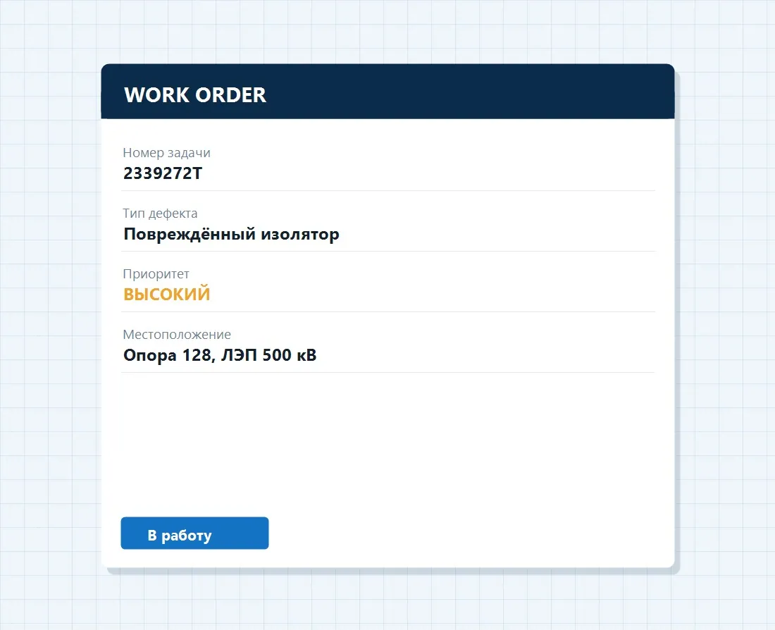
prioritisation
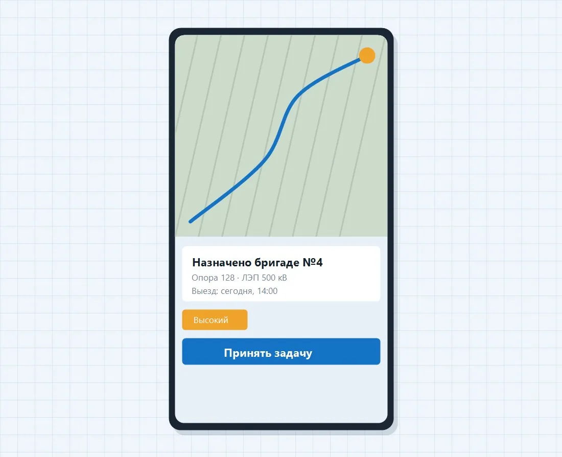
and completion control
Technology: key capabilities
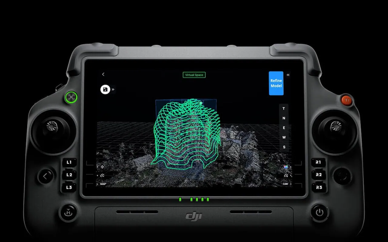
AI diagnostics: the threats it finds
and the problems it solves
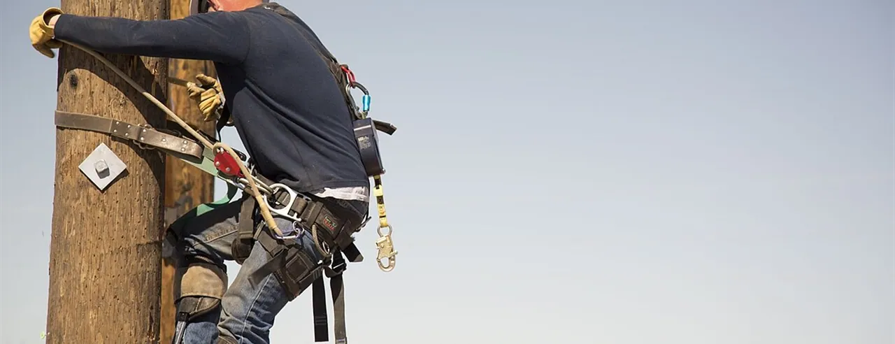
Work at height, on live lines, in hazardous areas.
Enormous length, mountains, snow, wind and heat.
No real-time monitoring and no single picture of grid condition.
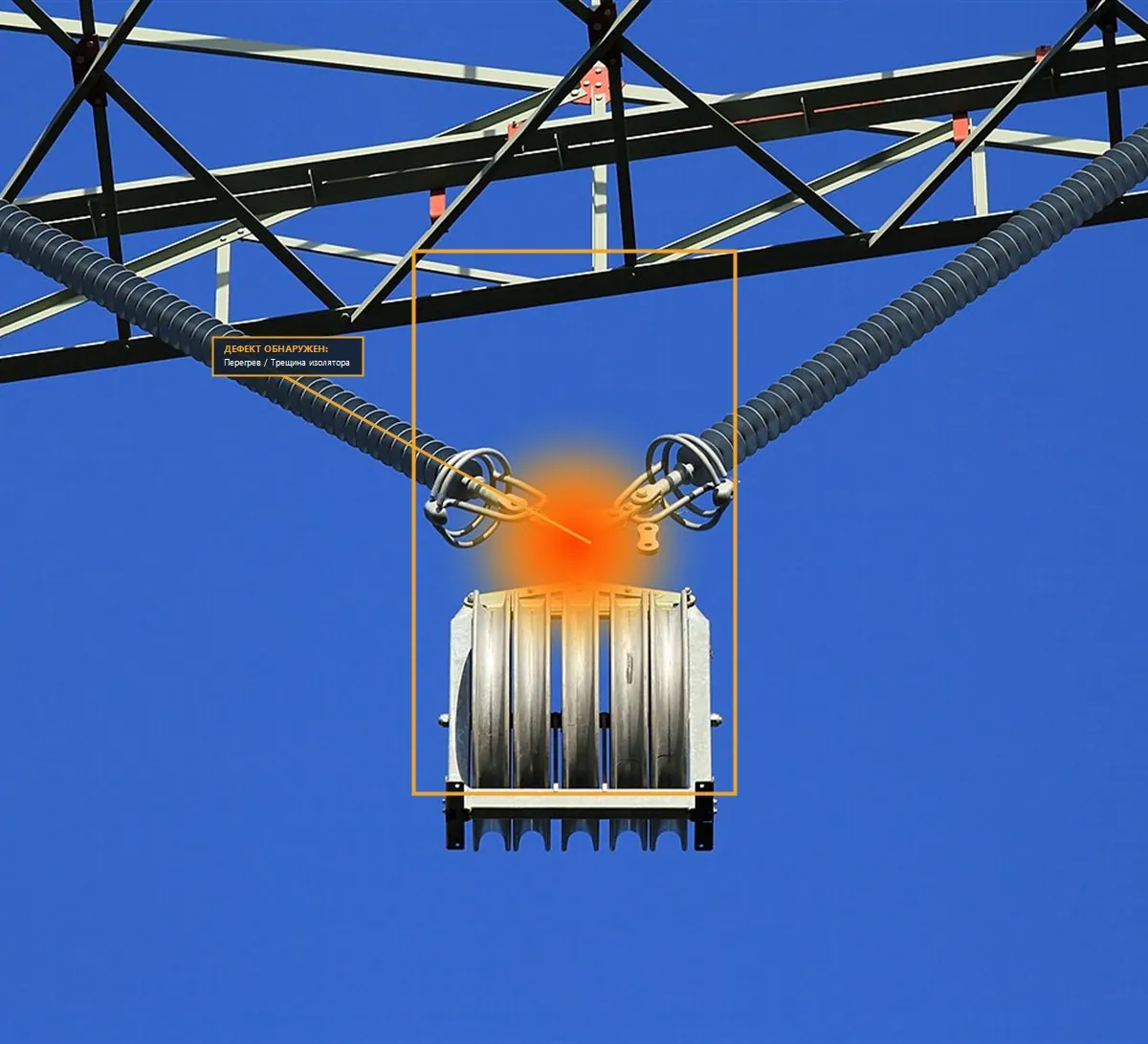
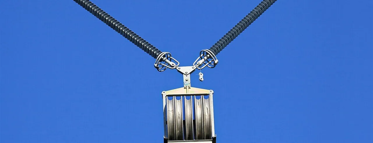
Corrosion, broken conductors, cracked or shattered insulators, overheated joints.
Foreign objects on the lines, unpermitted construction inside the right of way.
Encroaching vegetation, bird nests, the aftermath of wildfires.
Scalability:
from a pilot to the whole grid
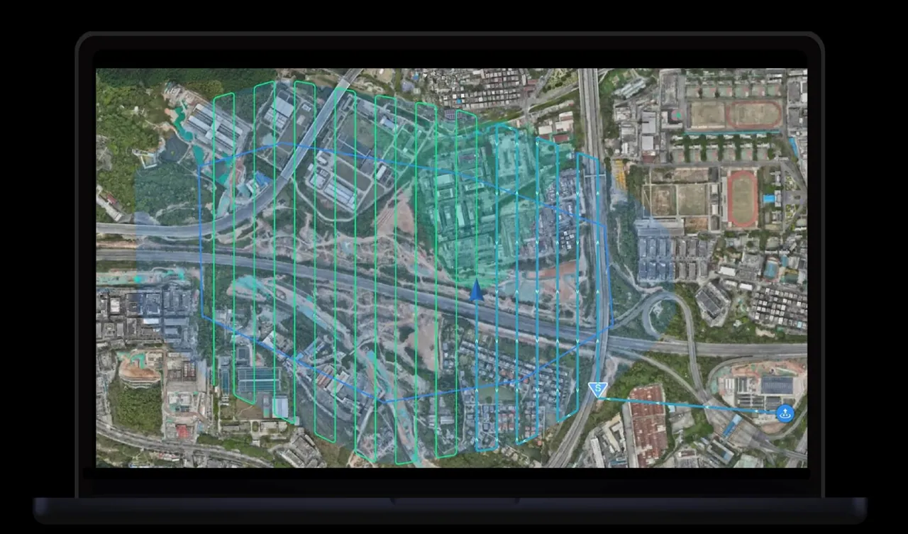
A digital twin of the grid
+ AI + drones
= a new model
of management
- Fewer people
- More data
- Faster decisions
- Higher safety