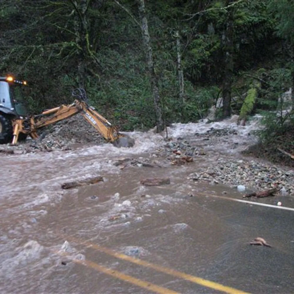
Foreign objects and spills
Instant capture of lost cargo, debris or fluids on the carriageway.
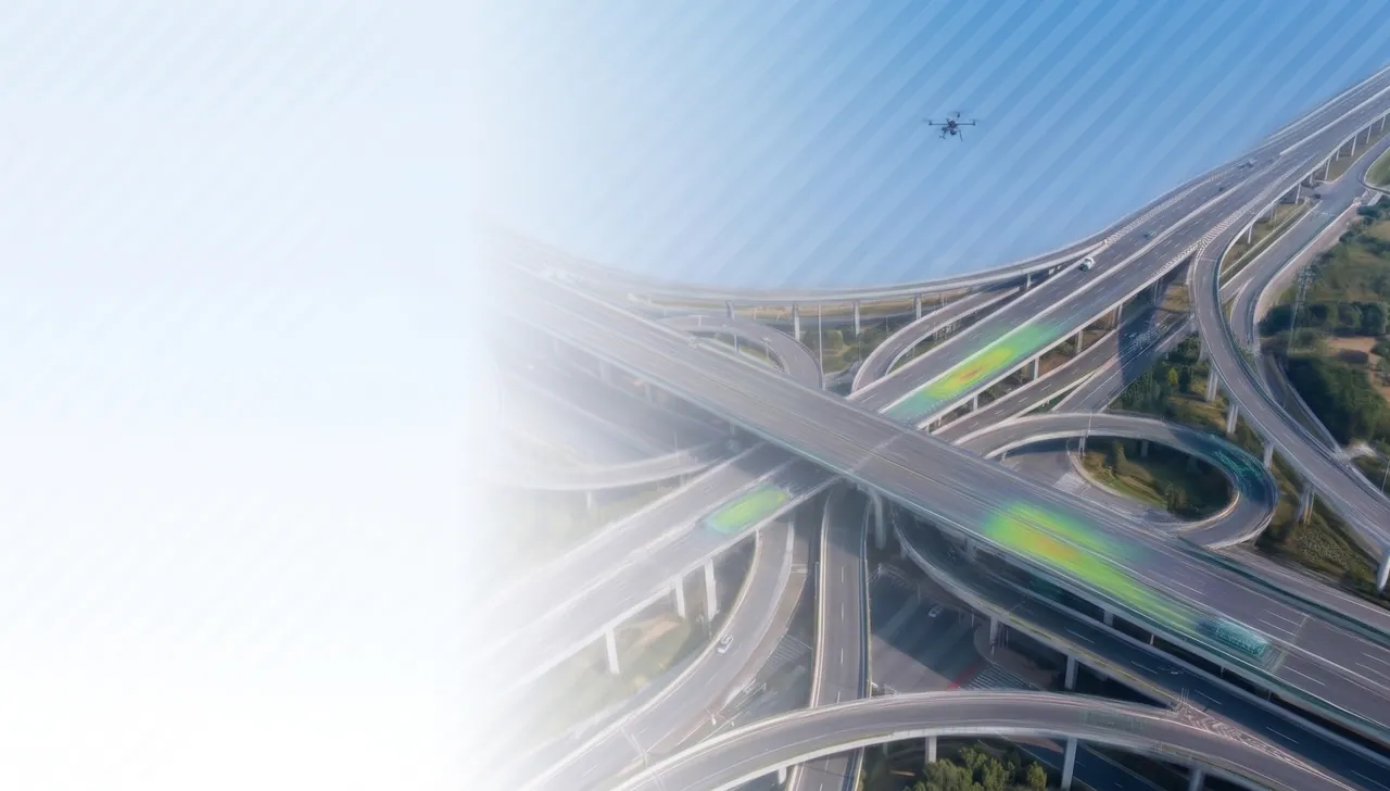
The evolution of infrastructure management, built on UAVs and AI
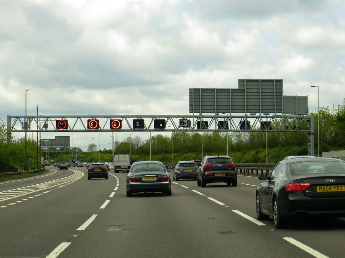
Fixed cameras cannot cover the full length of the network.
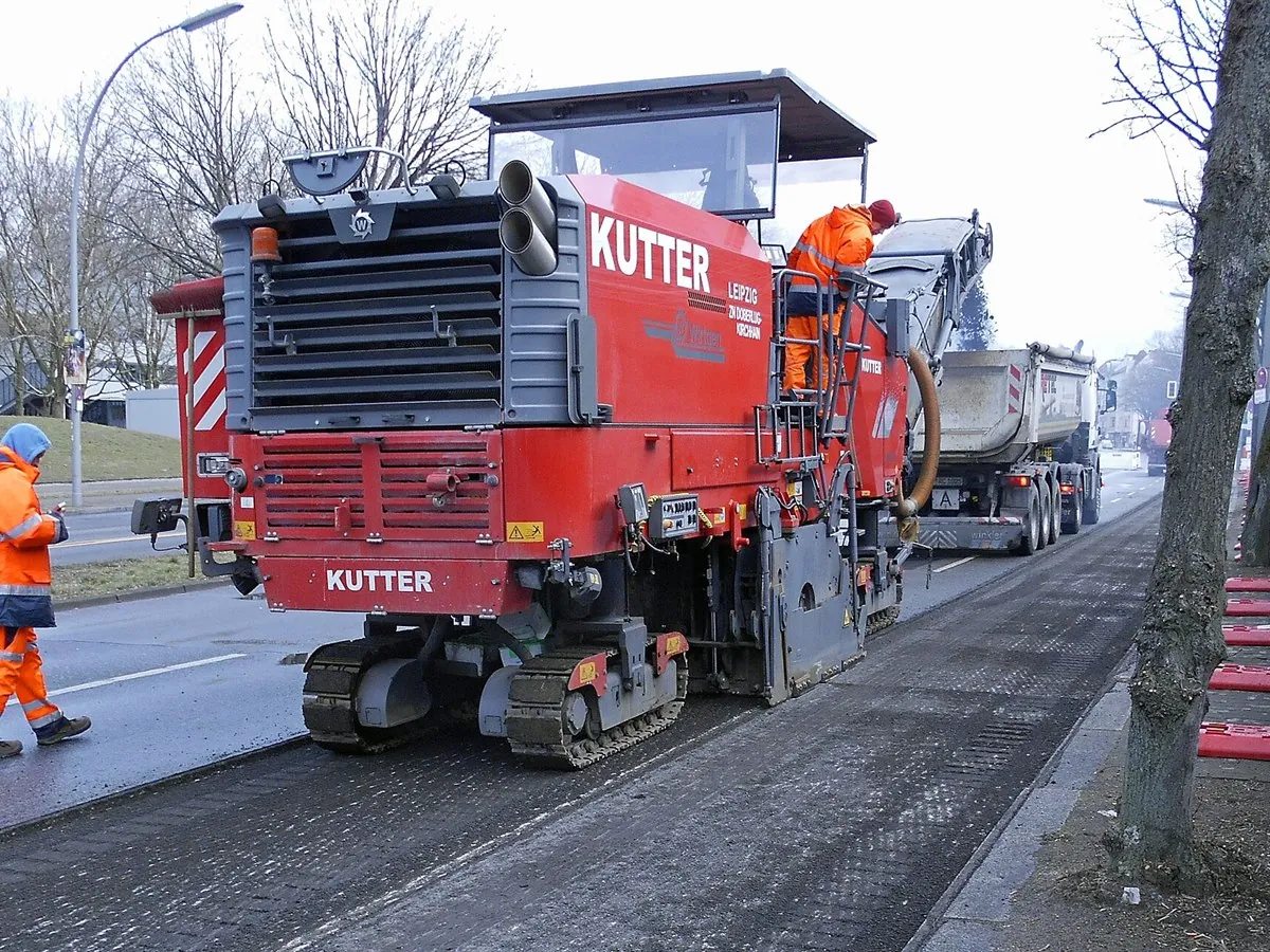
Manual patrolling of the road surface puts lives and health at risk.
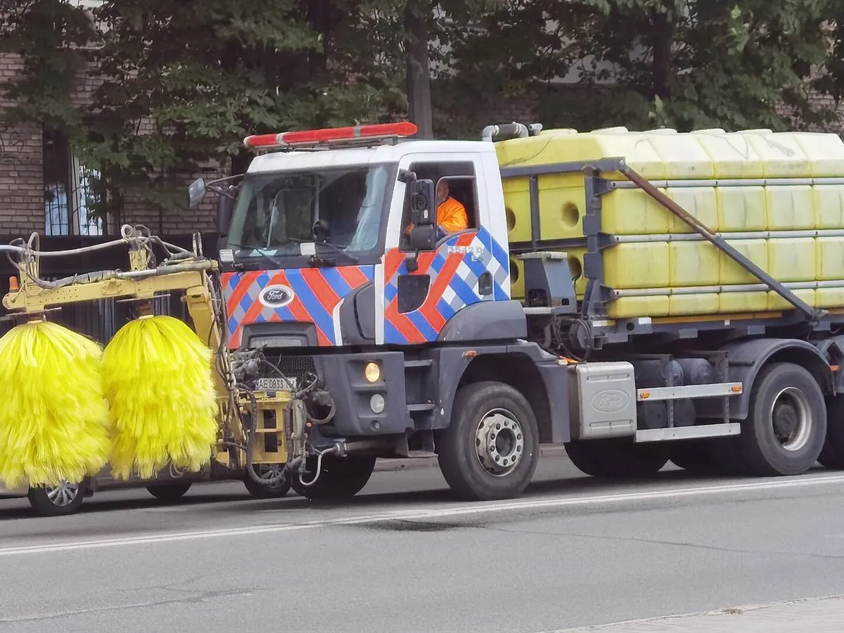
Relying on manual labour and ground vehicles slows data collection to a crawl.
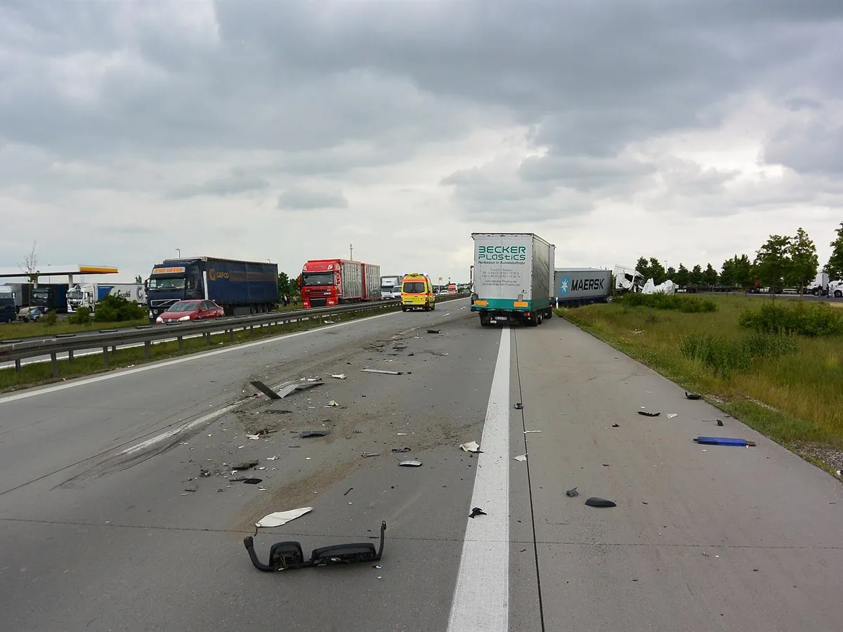
Without end-to-end visual control, the response to incidents and emergencies is delayed.
A single intelligent architecture for road monitoring: from the flight to the management decision.
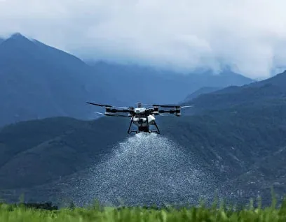
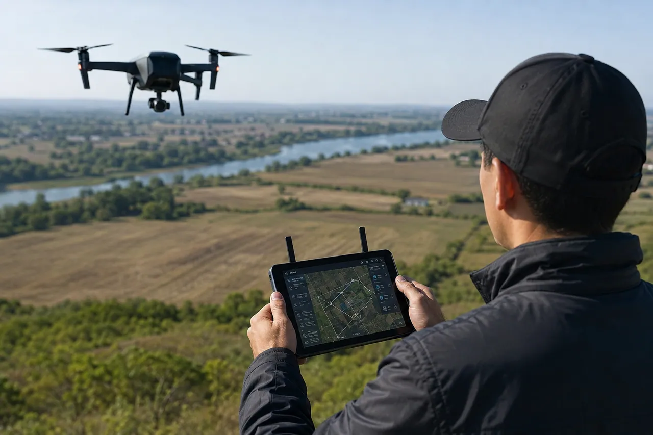
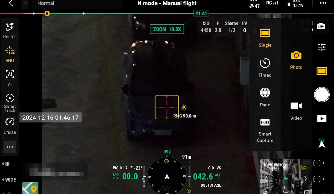
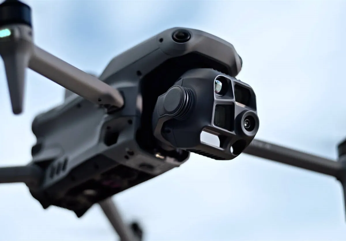
Best for hovering, close inspection of local sections and emergency response.
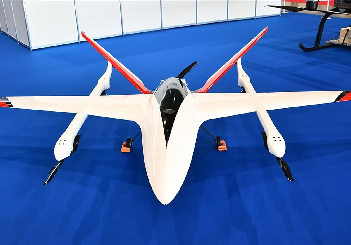
Ideal for linear patrolling of long road sections at high speed.
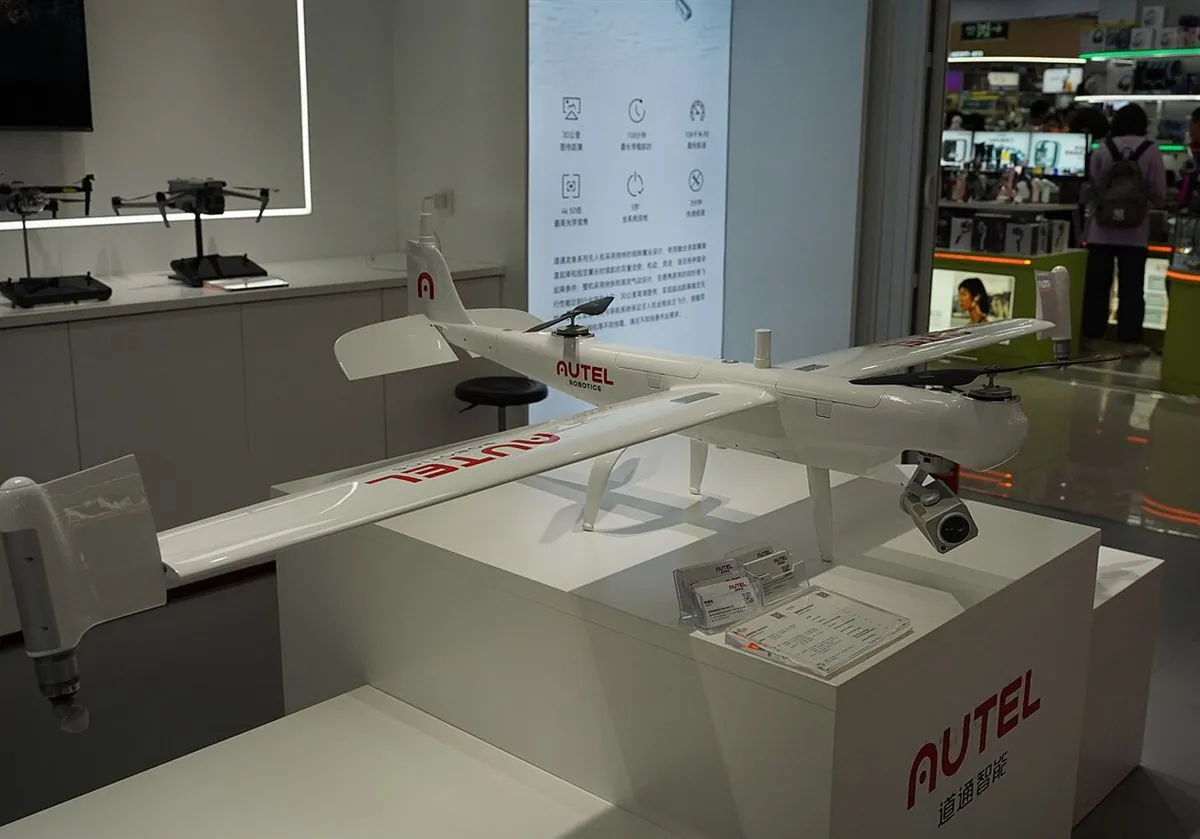
Long range combined with take-off and landing on confined sites.
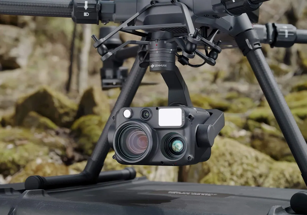
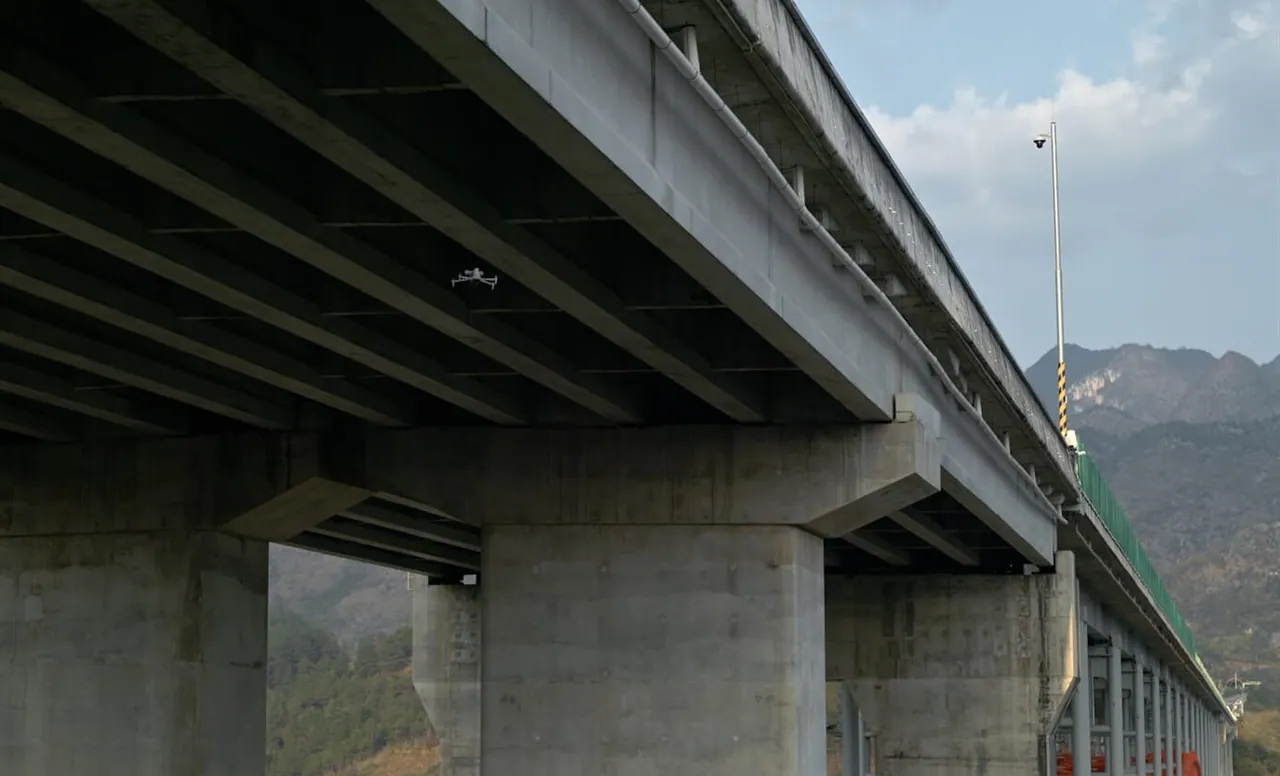
Protective cages and dedicated optics for inspecting bridge decks and piers from awkward angles.
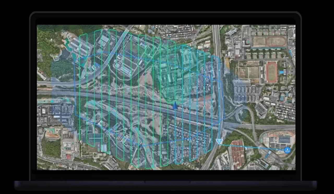
Digital routes from level I to level V for different jobs: pavement patrol, bridge inspection, emergency launch.
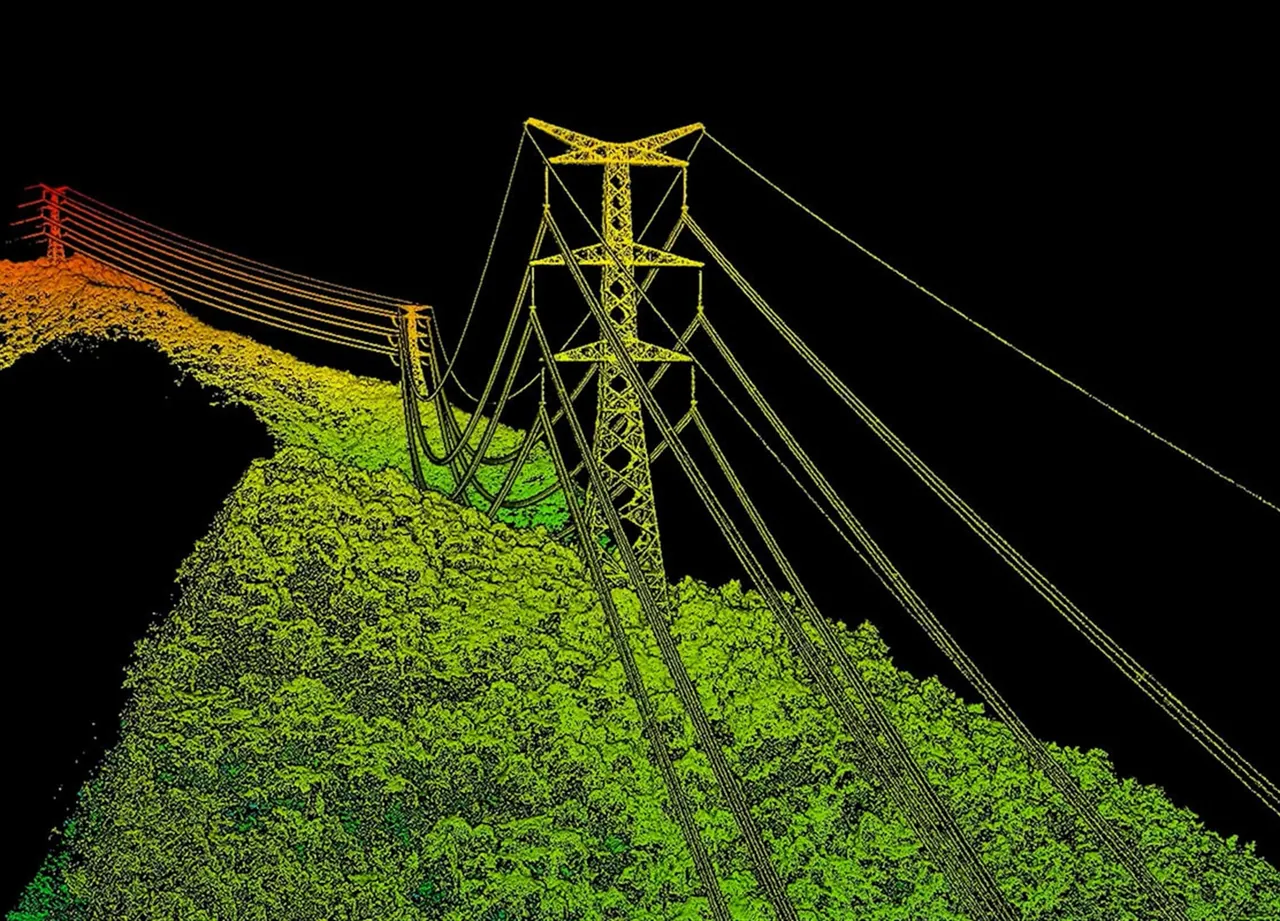
High-accuracy digital twins of roads and adjacent slopes for perfect positioning.
Virtual route simulation and collision testing — high-voltage lines included — before the real flight.
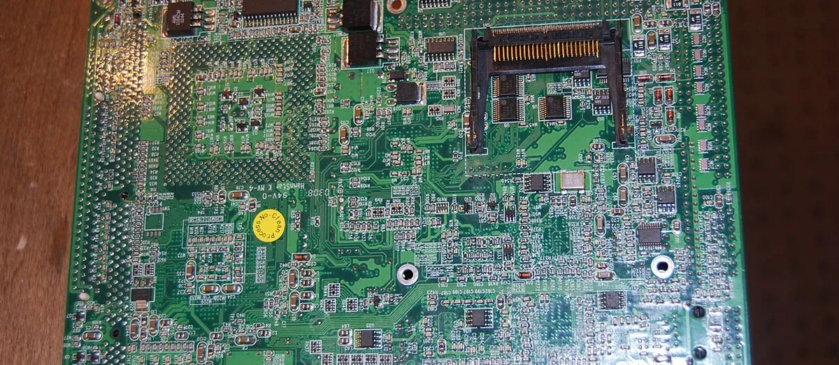
Neural networks run first on the UAV itself (GPU/NPU), so decisions are instant and need no round trip to the server.
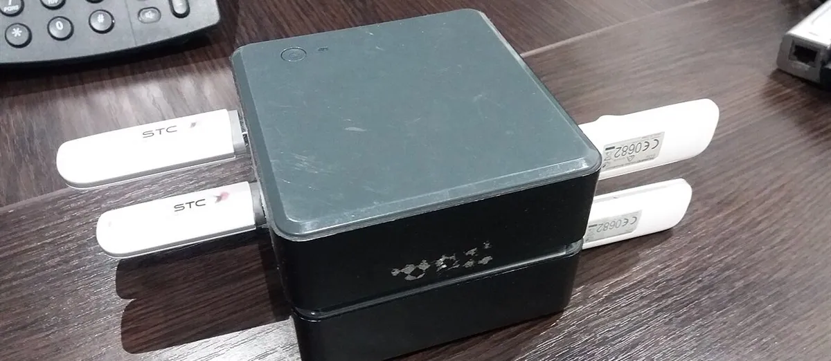
Telemetry, high-definition video and AI metadata delivered without lag over the 4G/5G module.
Reliable power and a seamless link between the compute boards and the flight controller.
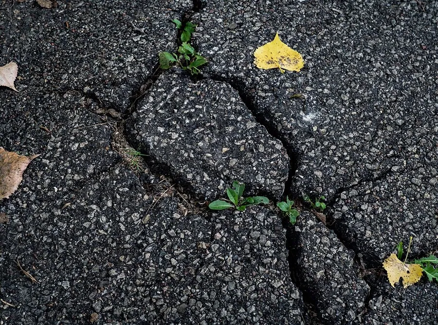
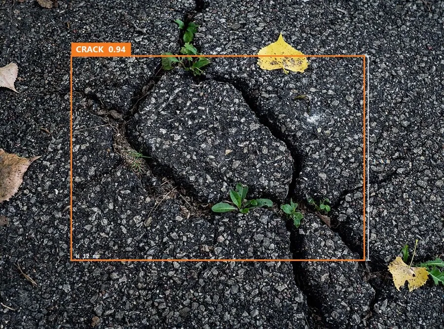
Deep real-time analysis of road surface textures and patterns.
The network analyses large macro objects and microscopic defects at the same time.
Small objects are recognised reliably even at high flight speed and in difficult light.
Real-time AI classification of road problems from the visible spectrum, thermal imaging and LiDAR.
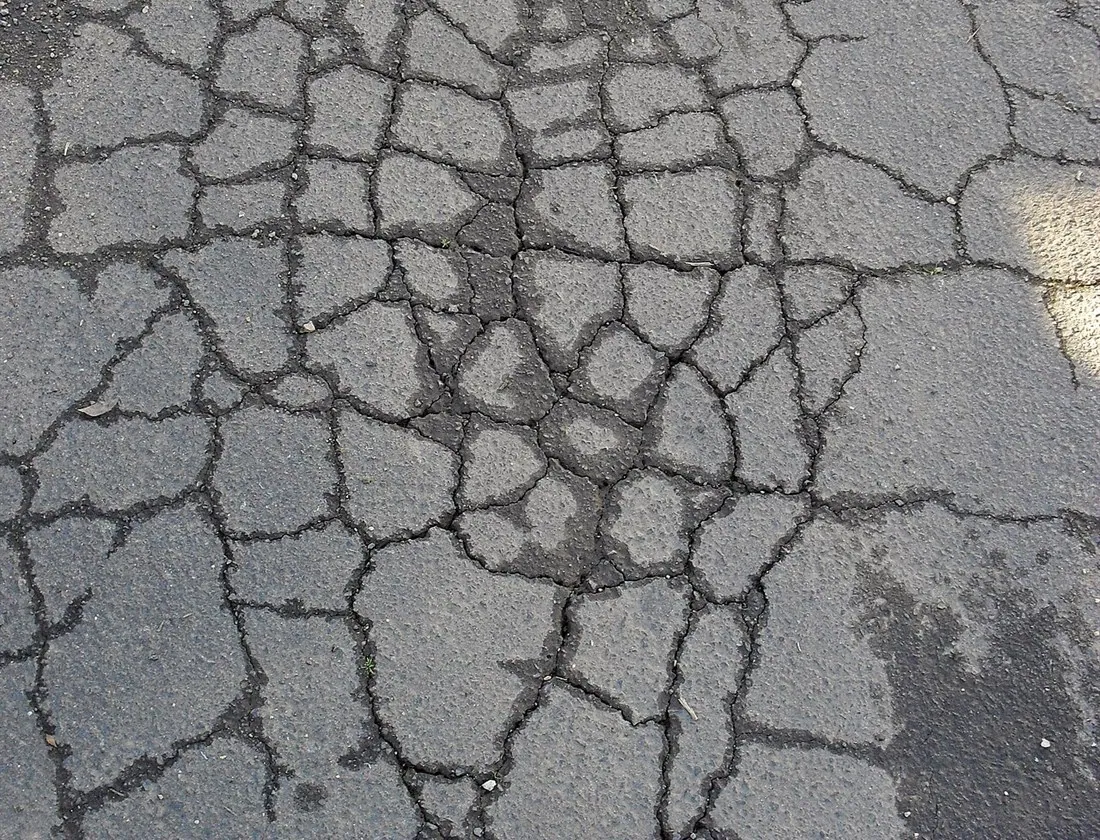
Automatic classification of longitudinal and transverse cracks at the earliest stages of failure.
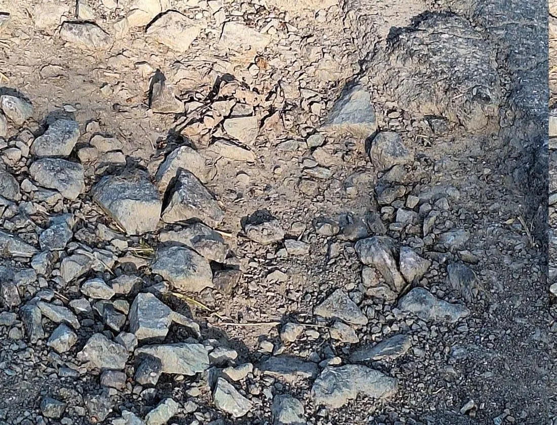
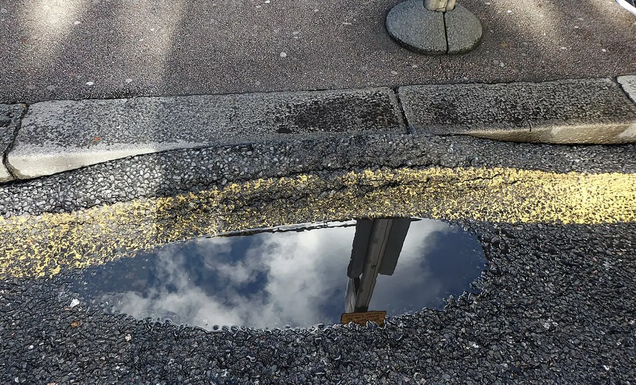
Precise location of potholes, with exact geo-coordinates passed to the repair crews.
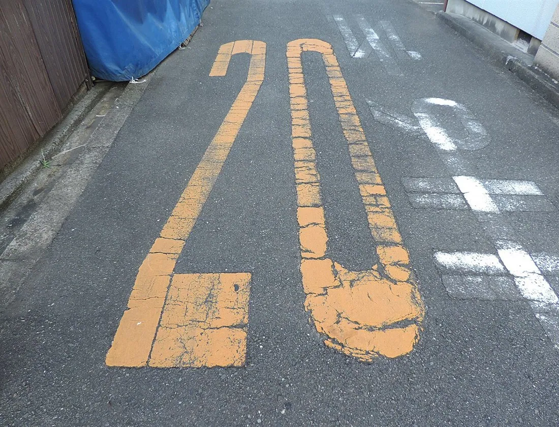
Assessment of wear and detection of damaged markings, which are critical to traffic safety.
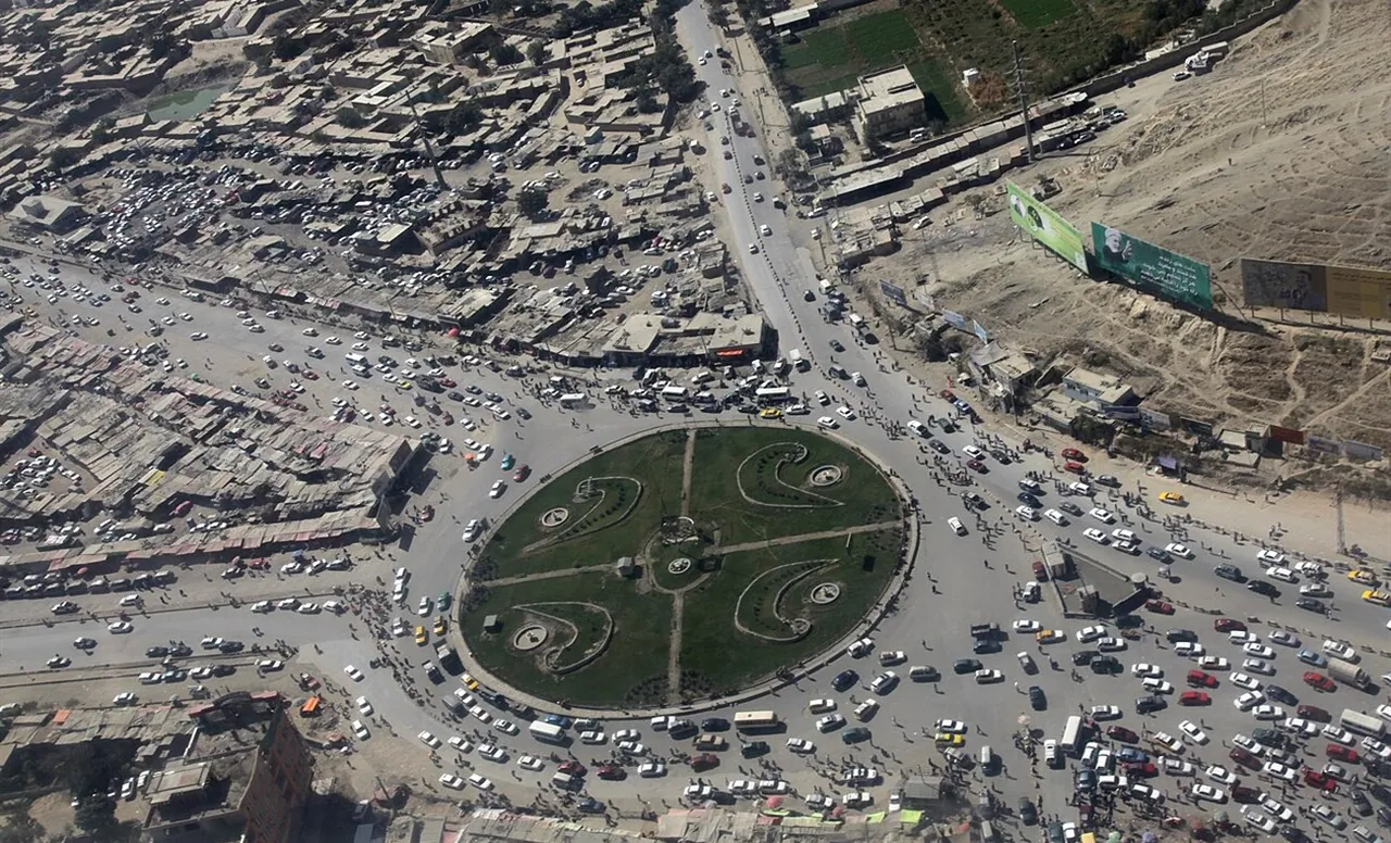
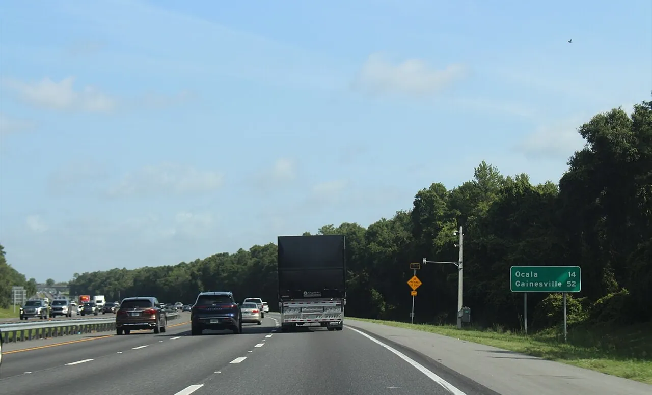
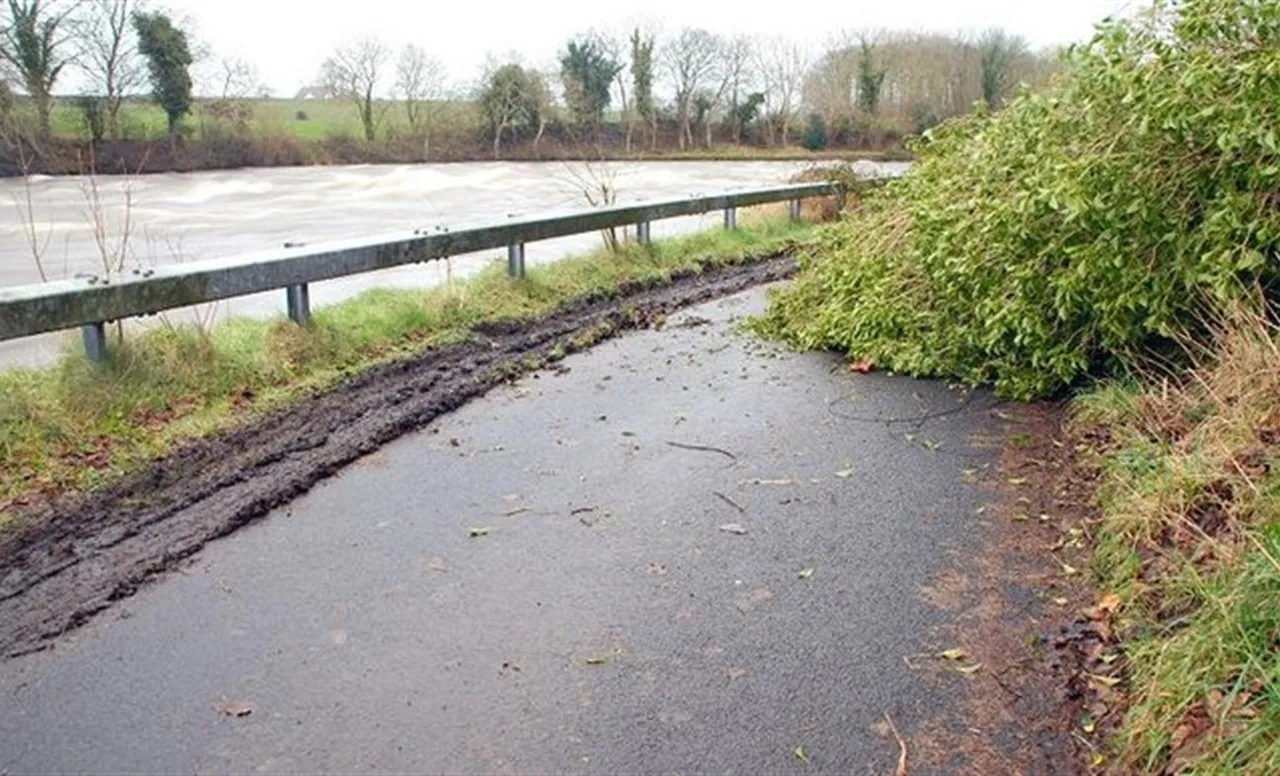
Instant capture of lost cargo, debris or fluids on the carriageway.
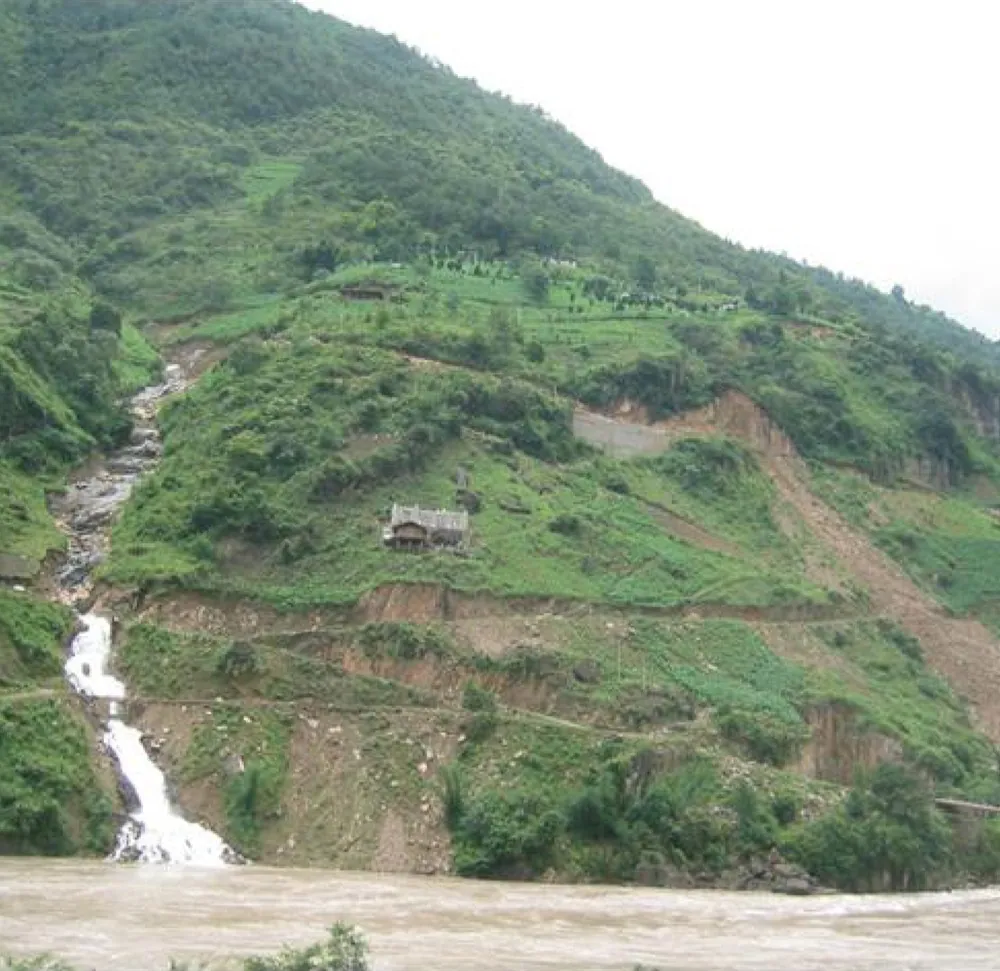
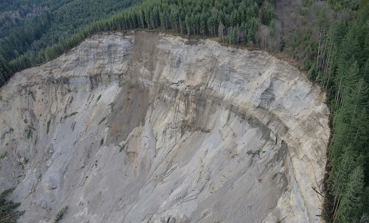
Monitoring of failing reinforcement, drainage and retaining structures along the route.
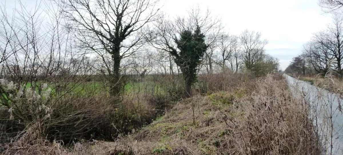
Detection of plants encroaching on shoulders, blocking visibility or breaking up slopes.
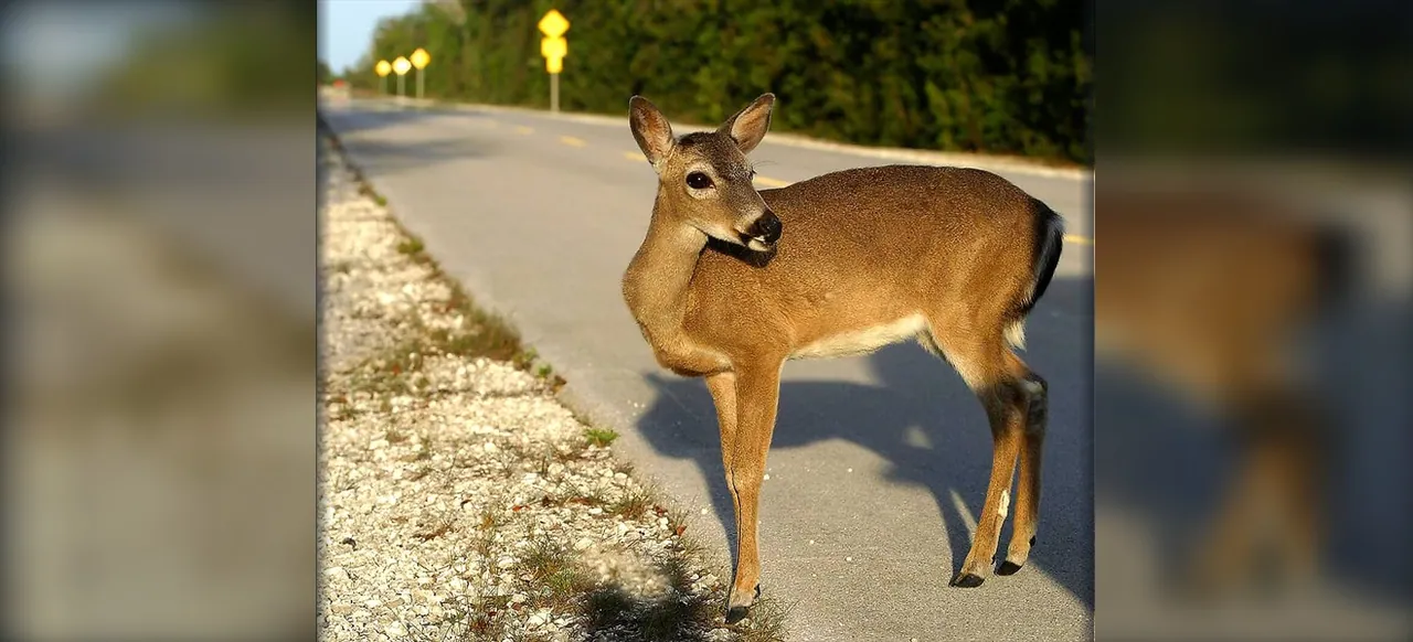
Detection of pedestrians, animals or unauthorised machinery inside the hazardous zone.
Real-time observation of the infrastructure with zero latency.
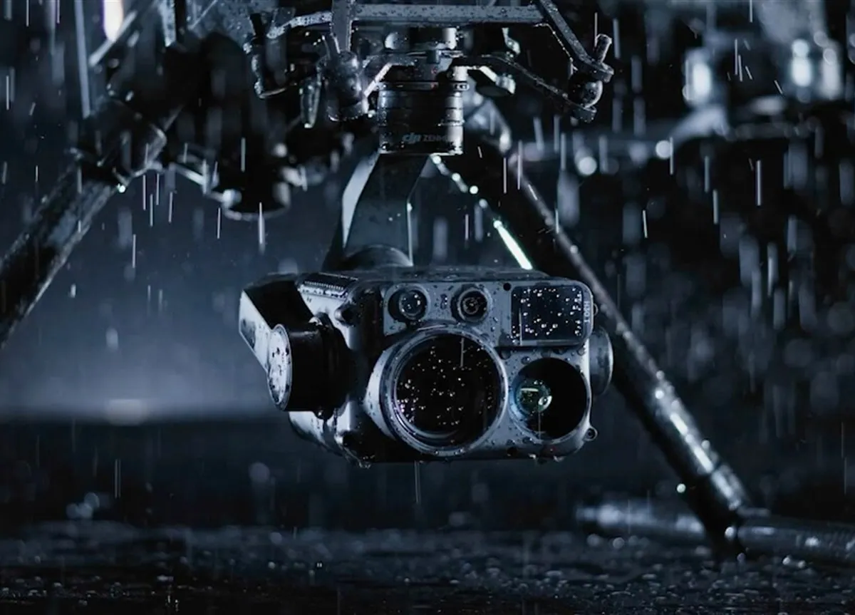
Full control of PTZ cameras: pan, tilt, multiple zoom and infrared mode.
Voice commands can be broadcast remotely through the UAV loudspeaker to warn drivers or offenders.
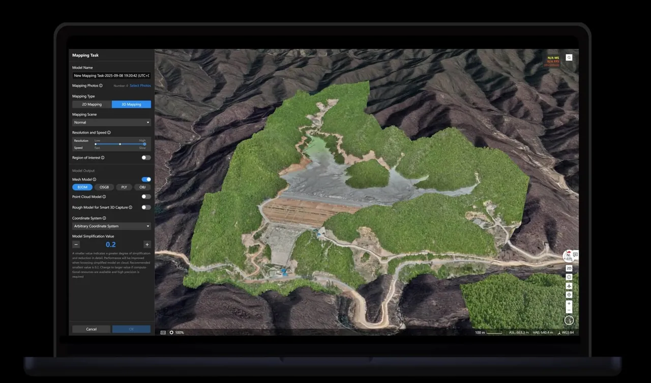
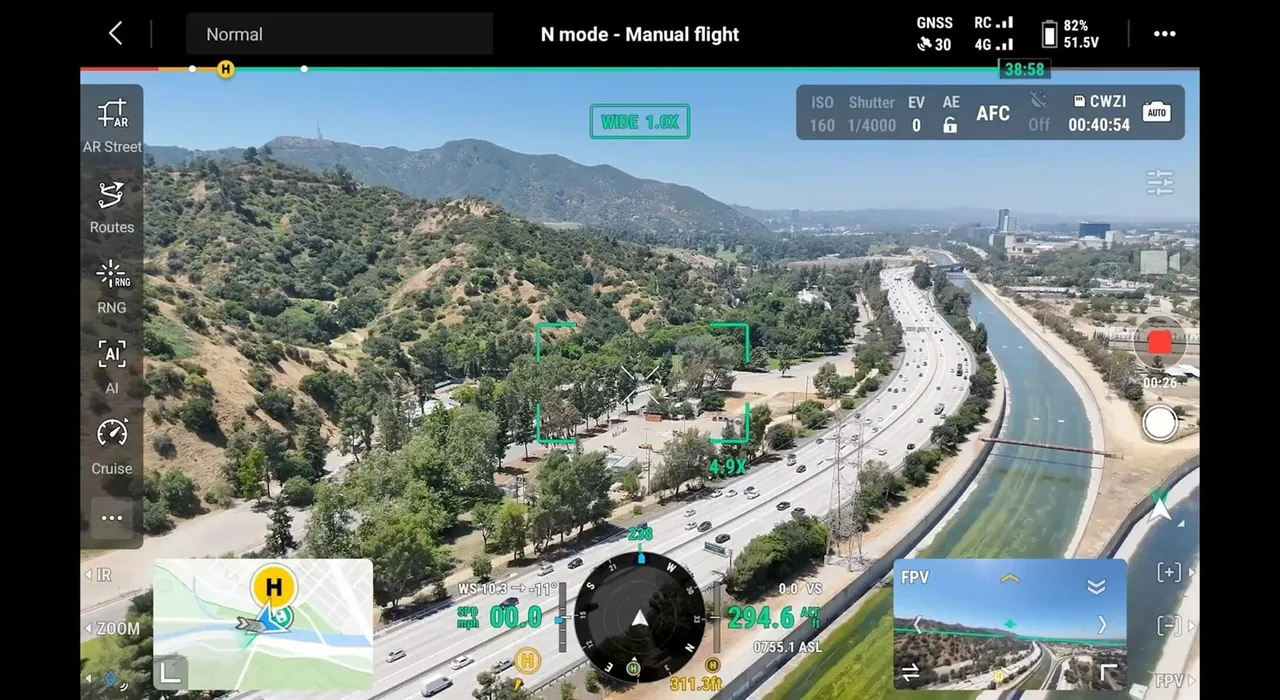
Focused inspection. Deep, multi-angle analysis of complex individual structures: bridges, overpasses, difficult interchanges.
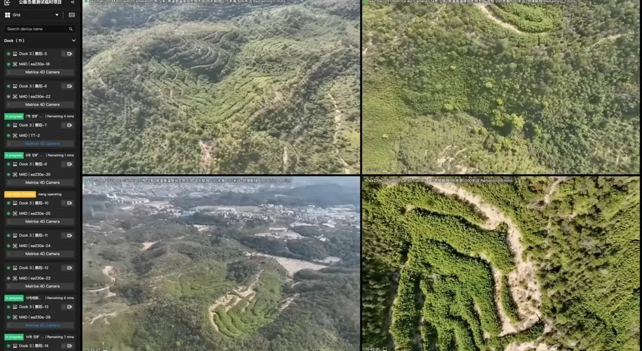
A networked swarm. Synchronised control of many UAVs to cover dozens of kilometres of road network in the shortest possible time.
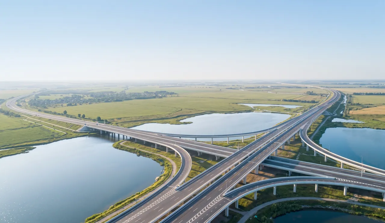
Routine automated. Safety maximised.
Total control of roads, bridges and slopes.
UNB Group — your reliable partner in infrastructure digitalisation.